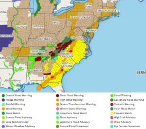
Today will be a day filled with meteorological danger as thunderstorms capable of creating hurricane force wind gusts and large, damaging tornadoes pushes to the East Coast, threatening New York, New Jersey, Pennsylvania, Connecticut, Maryland, Delaware, Virginia, North Carolina, South Carolina, Georgia, and Florida with violent weather. Large, long-tracking, violent tornadoes, large damaging hail, destructive straight-line wind gusts, hazardous frequent lightning, and flash-flood causing heavy rains are all likely today as a powerful storm system moves through.
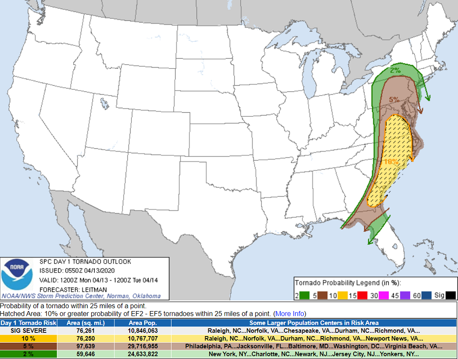
The greatest threat of tornadoes will exist from eastern Virginia south across eastern North and South Carolina and southeast Georgia. In this area, the National Weather Service’s Storm Prediction Center says they’re a relatively high 10% or greater probability of EF2 to EF5 tornadoes possible within 25 miles of any point. According to the National Weather Service, this area of high risk impacts almost 11 million people. However, the threat of tornadic thunderstorms is possible over a broader area from southern upstate New York south to northern Florida; this includes New York City, Philadelphia, Wilmington, Washington DC, Baltimore, Raleigh, Richmond, Charleston, and Jacksonville. According to the National Weather Service, more than 54 million Americans are being threatened with the possibility of tornadoes today.

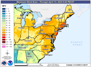
In addition to violent tornadoes, there is also the threat of intense, destructive straight-line winds. These winds, which could exceed hurricane force at times, will threaten coastal southeastern New England, Long Island, the Jersey Shore, and Delaware and Maryland beaches. There, winds could gust 60-90 mph at times. Inland, damaging winds are possible too; winds gusting to 40-60 mph are possible along and east of I-95 in the Mid Atlantic.

Heavy rain could create flash flood conditions in areas; the National Weather Service continues to warn people: “turn around, don’t drown; never drive through flood waters.”
Large hail, with a diameter of 1″ or more, is also possible from eastern Pennsylvania and New Jersey south to northern Florida. Hail this size can break windows to homes and cars, especially when propelled by strong winds.
Thunderstorms, heavy rain showers, and gusty winds are building now and will continue throughout the day. The worst of the weather should exit the coast by 7pm.
With many people sheltering in place or under quarantine due to the ongoing COVID-19 Pandemic, some may find themselves in places suitable for the pandemic, but not suitable for severe weather. People in such places should use the time before warnings are issued to get to a place of safer shelter while also keeping themselves safe from the spread of disease. Numerous tornadoes and widespread damaging winds could create widespread, long-duration power outages; people should prepare for that possibility too before violent weather strikes.