• Skip to primary navigation
  • Skip to main content
  • Skip to primary sidebar

Weatherboy

Weatherboy Weather News, Maps, RADAR, Satellite, and Forecasts.

  • Local
  • Earth Science News
  • RADAR
  • Current Warnings
  • Satellite
  • Current Maps
  • Forecast Maps
  • Video

Earthquake Strikes Alabama; Dozens Report Shaking

by Weatherboy Team Meteorologist - November 20, 2024

The evening earthquake struck at the yellow dot inside the concentric colored circles on this map. Image: USGS

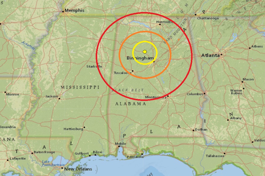
According to USGS, a  relatively mild earthquake rated as a magnitude 2.4 event struck northern Alabama Monday night. The  earthquake rattled the area at 10:00 pm near the town of Sipsey, Alabama, north and west of Birmingham, The earthquake’s epicenter had a shallow depth of 1.8 km. No damage was reported but more than 80 residents used the  USGS “Did You Feel It?” tool to report feeling or hearing the earthquake.

Earthquakes are not uncommon in Alabama. This map shows epicenters of historical Alabama earthquakes since 1886 and surface and basement faults. Image: Geological Survey of Alabama

According to the Geological Survey of Alabama (GSA), earthquakes aren’t completely rare in the state. According to GSA, “Most of the earthquakes we experience in Alabama are associated with the Southern Appalachian Seismic Zone (an extension of the East Tennessee Seismic Zone) that runs along the Appalachian Mountains from the northeastern corner into the central part of the state and the Bahamas Fracture Seismic Zone in southern Alabama.

The strongest earthquake to ever hit the state was a magnitude 5.1 event in 1916 in northern Shelby County.

The second and third strongest earthquakes were each rated as a magnitude 4.9 event. One struck in DeKalb County, 10 miles northeast of Fort Payne, on April 29, 2003. The earthquake was widely felt across the northern half of Alabama and Georgia, much of Tennessee, and even portions of Kentucky, North and South Carolina, and Mississippi. The other struck in Escambia County on October 24, 1997; that earthquake was responsible for a berm around a lake to fail, spilling water and fish across a road. Large cracks also developed in sand along a creek not far from the epicenter. Both 4.9 magnitude events did some damage, mainly to weaker masonry found in the northern part of the state.

Primary Sidebar

Sponsored Ad

Search

Latest News

  • National Hurricane Center Initiates Daily Reports Today
  • Severe Weather Likely Across Broad Area on Friday
  • Heat Blast Expected from Texas to Florida and from Minnesota to Arkansas
  • Mid Atlantic to Become Extra Moist
  • Southeast Soaker Likely Next 72 Hours
  • Igloo Cooler Recalled Due to Amputation / Crushing Threat
  • Longtime TV Meteorologist Fired
  • Spacecraft Launched by Soviet Union in 1972 Crashed Back on Earth Today
About | Careers | Contact | Contests
Terms | Privacy | Ad Choices
Weatherboy is a (R) Registered Trademark of isarithm LLC, All Rights Reserved.
All content herein is Copyright by Isarithm LLC 1997-2022