Just a week after an earlier severe weather outbreak produced tornadic thunderstorms on the East Coast, it appears yet another severe weather outbreak will unfold tomorrow afternoon there. While last week’s severe weather was anchored over coastal Virginia, it appears this next outbreak will be based over eastern North Carolina. While thunderstorms are possible from Delaware to Florida, the greatest risk of severe storms will be from Virginia to South Carolina.
According to the National Weather Service’s Storm Prediction Center and their latest Convective Outlook, an upper-level trough will move southeastward across the Mid-Atlantic on Tuesday. At the surface, a low will move offshore as a cold front advances southward into North Carolina. As surface temperatures warm ahead of the front, scattered thunderstorms are expected to develop around midday. Surface dewpoints in the 60s F, combined with 40 to 50 knots of west-northwesterly flow in the mid-levels, should be enough for isolated severe wind gusts. Hail could also accompany the stronger cells. The severe threat is expected to maximize in the mid afternoon as low-level lapse rates become maximized.
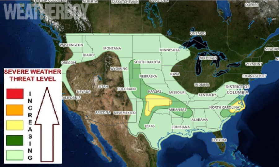
While an isolated tornado or two is possible, especially over eastern North Carolina, it appears the primary threat from any severe thunderstorms that form will be straight-line winds. Some damaging wind gusts could exceed 50 mph in stronger cells. Frequent lighting, heavy rain, and hail is also possible in these storms.
