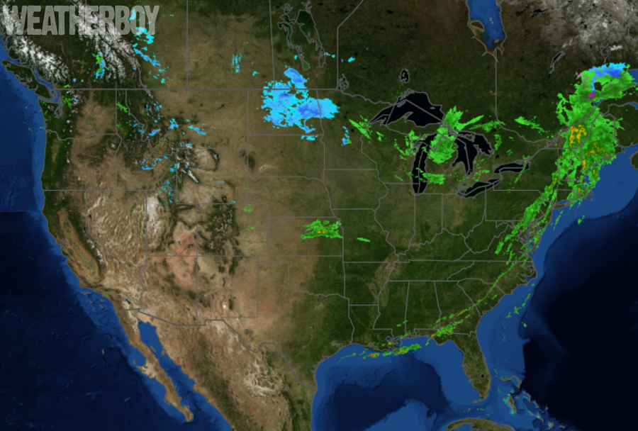
After a rainy and stormy start in the Eastern U.S., much of the United States is enjoying good weather on this Election Day. While some snow is falling across the northern central states and parts of the highest peaks in the Rockies, much of the western half of the country is dry. There is a potential for severe weather in the southern Mid Atlantic for the balance of today, but much of the rain and severe weather has wrapped up today.
A frontal system responsible for heavy rain and strong thunderstorms in the Northeast is pushing off-shore now. As the front pushes east, dry weather will arrive behind it. While there may be some lingering showers right along the coast for a couple of hours into this evening, the bulk of the rain will quickly move offshore and out to sea tonight. A steady westerly wind will remain through the night around 5-10 mph, and although steady gusts will drop off through the evening and overnight, occasional gusts around 20 mph are possible, especially in the northern Mid Atlantic and New England areas.
After a busy Election Day that brought heavy rain and severe storms to many earlier, a relatively quiet weather period will begin in the Eastern U.S. as high pressure builds in from the west. The high will start to shift to the east and cross to the Northeast late Thursday. This will continue to keep more of a west to northwesterly flow across the East for the midweek period. A better northwest flow will begin on Thursday, bringing colder temperatures to the east as a result by Thursday and Friday.
