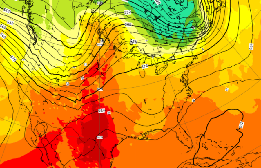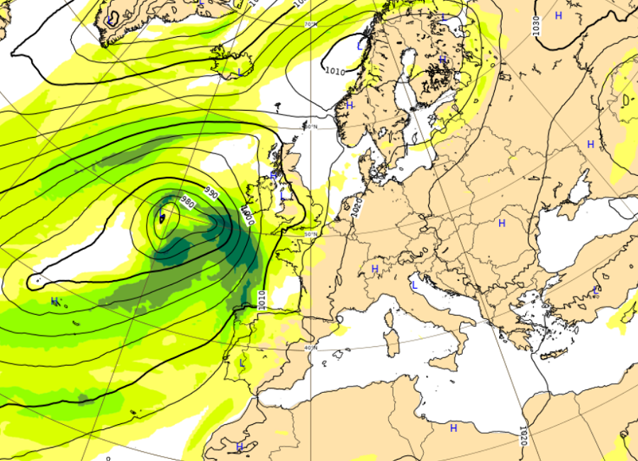
When it comes to two global computer forecast models, the American GFS and the European ECMWF are known as the gold standard in terms of quality. Paid by American tax payers, access to most GFS forecast data has been in the public domain, as is access to NOAA weather satellite data and imagery. But funded by European Union (EU) member and partner states, the ECMWF has typically only been accessible to national meteorological and hydrological services of ECMWF’s Member and Co-operating States, World Meteorological Organization (WMO) members, and commercial customers. Beyond sometimes costly licenses, ECMWF data was rarely freely available. However, that has all changed now.
ECMWF, short for the “European Centre for Medium-Range Weather Forecasts”, is an independent intergovernmental organization supported by 34 states. Serving as both a research institute and as an around-the-clock operational service, ECMWF distributes weather data such as numerical weather prediction products to its Member States. The supercomputer facility and associated data archive at ECMWF is one of the largest of its type in Europe and Member States can use 25% of its capacity for their own purposes.
In recent years, ECMWF forecast data has been lauded for its accuracy in various high profile weather events that have impacted the United States. In 2012 when Hurricane Sandy was moving up along the U.S. East Coast, it was ECMWF data that suggested it would make a relatively sharp left turn into the New Jersey / New York metro area before other forecast models latched onto such a solution.
Through a series of software and hardware improvements, the American GFS forecast model has performed very well recently, often exceeding the accuracy of the ECMWF forecast model. However, meteorologists find insights from both models invaluable and use both in their practice. The models will often have some biases in how they crunch the data and expert meteorologists can recognize those nuances when forecasting the weather based on insights provided by both the GFS and ECMWF.

While the National Weather Service and related agencies had access to ECMWF data, most private forecasters had to pay costly licenses for access and even more expensive fees to re-use the output on-line and on-air. However, starting on October 7, that all changed.
The EU and ECMWF Member and Co-operating States have been moving towards an open data policy in recent years. In the EU, a Directive on open data and the re-use of public sector information, also known as the “Open Data Directive” entered into force in July of 2019. This directive focused on the economic aspects of the re-use of information and it encourages EU Member States to make as much information available for re-use as possible. And because of that, much of the ECMWF data that was walled-off to free public access is now open
Andy Morse, Professor of Climate Impacts at the University of Liverpool, said, “The potential uses and benefits these products bring for a range of users and sectors is vast and particularly key in less economically developed countries. Now that remote internet access is widespread through modern mobile phone networks; the availability of this information is likely to be a game changer for many small enterprises. In my experience, people in these most remote parts of the world are hungry for such information.”
Through this effort, hundreds of charts and data sets are being made available to the public. Medium-range, extended-range and long-range forecast charts of temperature, wind, precipitation, clouds and ocean waves are just some of the products that are becoming available. With ECMWF’s focus on ensemble prediction, charts also cover probability-based information, which provides a guide to forecast confidence. The likelihood of extreme conditions, as well as tropical and extratropical cyclone activity, are also included.
Making these hundreds of charts free and open means that, not only is there no charge for the information, but users can also share, redistribute and adapt the information as they require, even for commercial applications, as long as they acknowledge the source as ECMWF. The charts are now available under the Creative Commons license (CC-BY 4.0).
Rolf Brennerfelt, Chair of the ECMWF Policy Advisory Committee, said, “ECMWF Member States have been keen for the Center’s data to be open and free for a while. The societal benefits associated with free and open data are big. We are aware that the move comes with its financial challenges, but the benefits outweigh those challenges. We are in a period of transition, and this first batch of data being made freely available is a very good start and illustrates well our commitment to this principle.”
The weather maps, charts, and graphs can be viewed on the ECMWF website. There, users can select the data set they want to see, the region for which it’s for, and the age of the data. Some forecast maps available go out as far as 10 days in the future while archives of up to 5 days in the past are posted online.