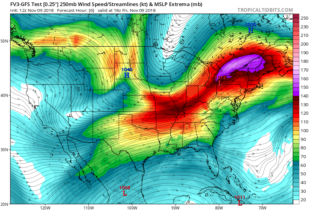
On this Friday, fires are blazing in the west while flooding rains fall in the East. A dry ridge of high pressure is producing fire weather conditions ripe for blazes from western Canada to the US/Mexico border. In California, fires are especially bad, with wildfires moving into populated areas like Malibu and Thousand Oaks just north of Los Angeles. California Acting Governor Gavin Newsom declared a state of emergency in Los Angeles and Ventura counties due to major two fires there today, the Woolsey Fire and the Hill Fire. Meanwhile, flooding rains continue to fall and ramp up in an area that has been soaked in recent months in the Mid Atlantic and Northeast due to a trough of low pressure there.

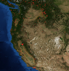
In California, satellite imagery shows numerous fires burning at this hour. Smoke from the fires is also spreading far from where the fires are, creating conditions that may make breathing difficult for some. More than 85,000 people have been forced to evacuate from their homes just north of Los Angeles. Mandatory evacuations are also in effect in the Malibu Canyon area, Agoura Hills, Calabasas and Westlake Village.
California smoke forecast for the next 24-hours per our high resolution model. #HillFire #WoolseyFire #CAwx pic.twitter.com/G65ZhKAqH1
— NWS Los Angeles (@NWSLosAngeles) November 9, 2018

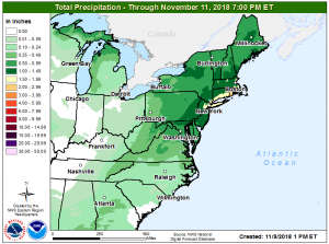
The same weather pattern responsible for creating dry conditions favorable for fires in the west is also responsible for heavy rains in the northeast. Heavy rain is expected today into tomorrow from New Jersey to Massachusetts, with some of the heaviest rain expected over Long Island, New York, southern Connecticut, and Rhode Island. The likelihood of heavy rain has prompted the National Weather Service to issue Flash Flood Watches for this area for later today into tonight. Widespread 1-2″ of rain are expected, with some amounts approaching 3″ possible in Rhode Island.

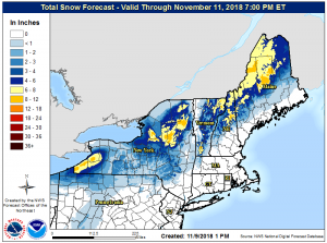
Cold air wrapping around the backside of this system could also produce heavy snow for some. The National Weather Service is urging people of interior New England to prepare for as much as 6-12″ of snow over the next 72 hours. Conditions closer to the I-95 corridor and the coast will be too mild to support snow. That could change next week though as a colder system moves through this same region.