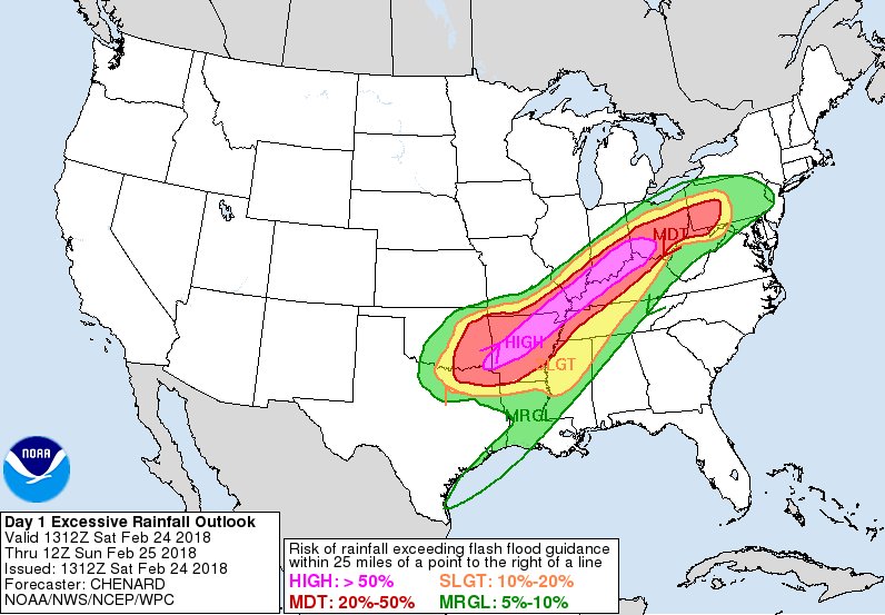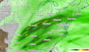
The weekend will feature flooding rains and violent storms over a large part of the country, starting this afternoon.
A strong low pressure system is responsible for the significant weather. A wave of low pressure over the Southern High Plains will deepen rapidly while moving to the Upper Great Lakes by tomorrow morning. By tomorrow night, this low will eventually make its way to James Bay in Canada. The system will produce snow over parts of the Southern/Central Rockies into the Central Plains that will move northeastward into the Upper Midwest by Saturday evening. By Sunday evening the snow will move out of the Upper Great Lakes into Canada. The snow will be heavy at

times over the Upper Mississippi Valley into the Upper Great Lakes overnight Saturday into Sunday. Additionally, showers and thunderstorms will develop along and ahead of the associated front over parts of the Southern Plains into the Lower/Middle Mississippi Valley into parts of the Ohio Valley by Saturday evening. The showers and thunderstorms will move eastward to the Southern Mid-Atlantic/Southeast by Sunday evening, while continuing over the Western/Central Gulf Coast. In addition, rain will develop over parts of the Northern/Eastern Ohio Valley into the Central Appalachian on Saturday morning moving into the Mid-Atlantic by Saturday evening with a few embedded thunderstorms. Many thunderstorms will be severe and some will be violent, containing tornadoes. Some tornadoes can be large and follow a long-track, leading to a heightened risk of damage and death in the severe weather zone. Heavy will be at times, creating significant flooding conditions across a large part of the country.
Fortunately, the storm system won’t stall; as a result, severe weather and heavy rain will wrap up this weekend too rather than linger into the new work week. Today’s rain will move into parts of the Northeast by Sunday morning and will continue into Sunday evening. Snow will also develop over parts of far Northern New England on Sunday while patches of freezing rain are also possible over portions of interior New England Sunday afternoon.