While soaking rains will continue to fall over the Carolinas today shattered numerous rain records, Florence, now a Tropical Depression, will move north and east over the next 48 hours, bringing an end to rain in the southeast but creating flood issues in the northern Mid Atlantic.

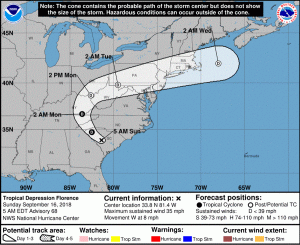
In the last advisory from the Weather Prediction Center which took over responsibilities for tracking the system from the National Hurricane Center earlier today, the center of Tropical Depression Florence was located near latitude 34.6 North, longitude 82.2 West. The depression is moving toward the north near 14 mph; the National Weather Service expects this motion is going to accelerate to the north today and tonight before turning eastward across Southern New England on Tuesday. Maximum sustained winds are near 35 mph with higher gusts. Some additional weakening is expected over the next 24 hours before intensification begins on Tuesday as the system transitions into an extratropical low. The estimated minimum central pressure is 1006 mb or 29.71 inches.

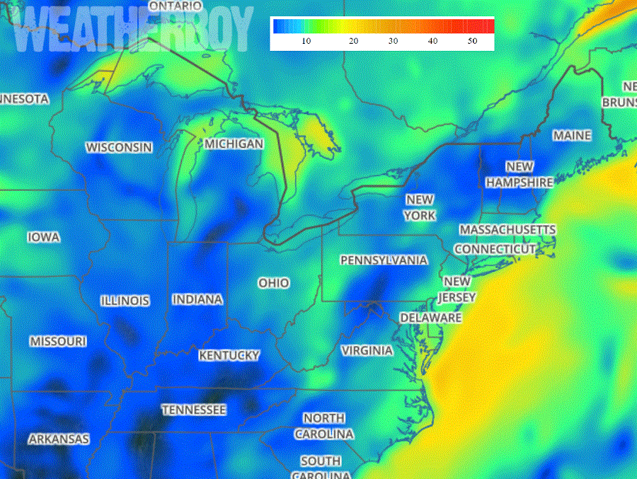
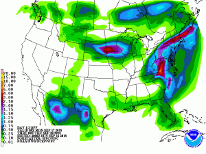
With intensification expected from a tropical depression to an extratropical low in the northeast, soaking rains and gusty winds are expected on Tuesday for places like Washington, DC, Philadelphia, PA, New York City, NY, and Boston, MA. Sustained winds of 15-25mph are expected with some gusts of 25-45mph possible, especially at the coast. Rain could be heavy at times. While epic rain amounts seen in the Carolinas won’t materialize anywhere in the northeast, a few inches of rain could trigger flooding issues, especially over portions of Pennsylvania, Maryland, and New Jersey.

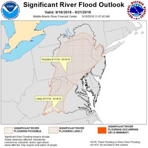
Due to the flood threat, the National Weather Service’s Mid Atlantic River Forecast Center has issued a Significant River Flood Outlook for the region. It warns of a flood threat in western and central Virginia, eastern West Virginia, much of Maryland, the eastern two-thirds of Pennsylvania, northern New Jersey, and portions of upstate New York. With heavy recent rains from Tropical Storm Gordon’s remnants and an unusually wet summer weather pattern, it won’t take much additional rain to create flood hazards in this area.
Florence’s remnants are expected to slide off the U.S. east coast late Tuesday / early Wednesday, closing the books on what’s been a catastrophic storm for the 2018 Atlantic Hurricane Season.