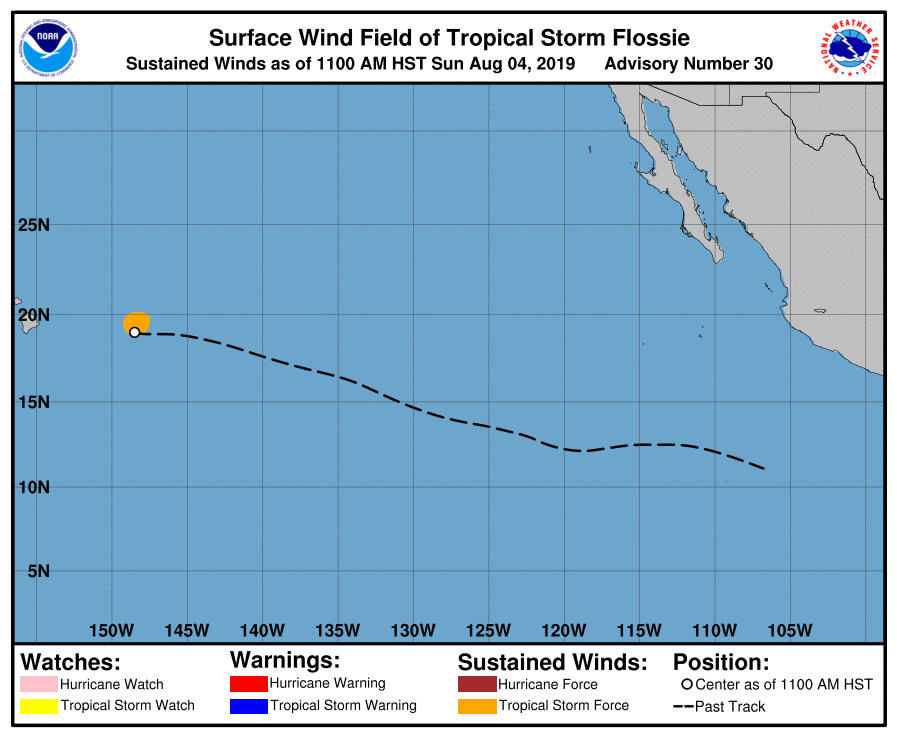
In the 5pm HT / 11pm ET update from the Central Pacific Hurricane Center, Flossie has weakened to a tropical depression. Lacking much in the way of any structure or strength, the system will continue to weaken as it approaches Hawaii’s Big Island.
In the latest update from the Central Pacific Hurricane Center, the center of Tropical Depression Flossie was located near latitude 18.9 North, longitude 149.8 West. The depression is moving toward the west near 13 mph. This general motion is expected to continue into early Monday, with a turn toward the west-northwest forecast late Monday and Tuesday. On the forecast track, the weakening system will move near or over the main Hawaiian Islands Monday and Tuesday. While there will be rough surf and some isolated heavy downpours, the rain should be consistent with what typically falls in a wet trade pattern. Widespread flooding is not expected nor is any significant wind. Only 1-4″ of rain should fall from this system in Hawaii, with most falling on Monday. The most rain will fall on east-facing portions of islands; west-sides of Maui and Hawaii should be shielded by their volcanic peaks from most rain.
For now, maximum sustained winds are near 35 mph with higher gusts. According to the Central Pacific Hurricane Center, weakening is forecast during the next 48 hours, and the system is expected to weaken to a post-tropical remnant low Monday night. The estimated minimum central pressure is a relatively high 1009 mb or 29.80 inches.