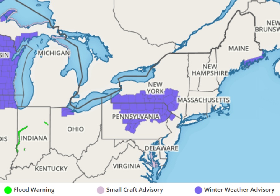
Another fresh glaze of freezing rain and ice is possible over portions of the northeast, prompting the National Weather Service to issue another round of Winter Weather Advisories for the impacted area. Even a light glaze of ice can make walking and driving on untreated surfaces dangerous; people within and traveling through the Winter Weather Advisory area should exercise extreme caution.
According to the National Weather Service, low pressure is forecast to move up the Ohio River Valley this evening and it should continue eastward, passing across Maryland, Delaware and far southern New Jersey late tonight. Some fairly robust warm advection aloft in advance of the system will bring lowering clouds and precipitation to the region tonight. The precipitation will be in the form of light rain and drizzle, except in the elevated terrain of the Poconos and far northern New Jersey, where a wintry mix is anticipated.
For the counties of Carbon and Monroe in Pennsylvania and Sussex in New Jersey, the precipitation is forecast to begin as a period of light snow and sleet this evening. Accumulations of less than an inch are expected, mainly above 1,000 feet. The valleys should transition to all rain late tonight as the warming aloft continues. However, the surface temperatures at locations at or above 1,000 feet will likely remain right around the freezing mark. As a result, a period of light freezing rain and freezing drizzle is expected there with a light glaze of ice possible.
Due to the threat of icy conditions, the National Weather Service has issued a Winter Weather Advisory for 6:00 pm this evening through 7:00 am tomorrow morning. Conditions are forecast to remain cloudy on Wednesday as a trailing
frontal boundary remains over portions of the Mid Atlantic. A weak wave may ride eastward along the front, bringing another shot of light rain mainly to southeastern Pennsylvania, southern New Jersey, Delaware and eastern Maryland during the day.
While significant winter storms continue to impact portions of the western United States with heavy snow, it doesn’t appear likely any such storm will occur along the east coast anytime soon. The American GFS computer forecast model suggests there could be more light precipitation events such as tonight’s and tomorrow’s in portions of the East through January 9, with no significant heavy snow event expected through then at this time.
