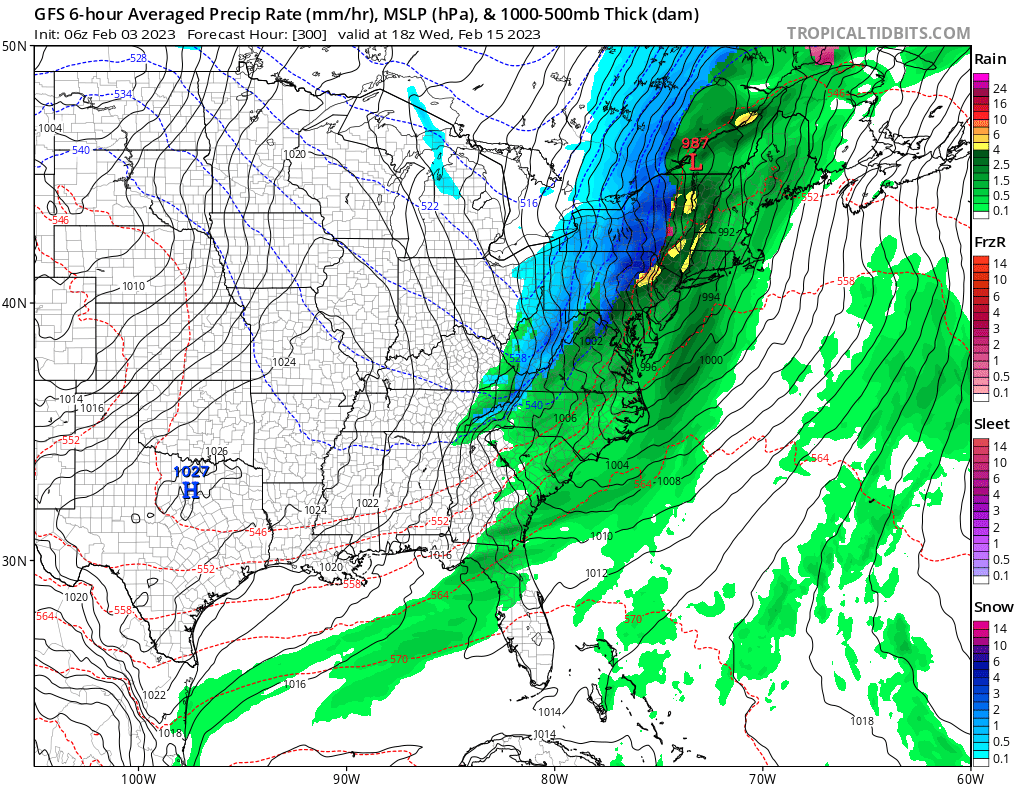
Global computer forecast models, including the European ECMWF and the American GFS, are each suggesting that snow will remain out of the I-95 corridor for the next two weeks, continuing a snow drought that has taken a hold on this region since winter began late last year.
While forecast models suggested in late January that a pattern change would arrive by early February that could be conducive to east coast snowstorms, that is no longer the case. While the overall pattern across the United States is very different from what it was in early January, the overall atmospheric set-up is still not conducive to east coast storm creation.
The GFS and ECMWF are among many computer models meteorologists use to assist in weather forecasting. While meteorologists have many tools at their disposal to create weather forecasts, two primary global forecast models they do use are the ECMWF from Europe and the GFS from the United States. While the models share a lot of the same initial data, they differ with how they digest that data and compute possible outcomes. One is better than the other in some scenarios, while the opposite is true in others. No model is “right” all the time. Beyond the ECMWF and GFS models, there are numerous other models from other countries, other academic institutions, and private industry that are also considered when making a forecast.
At this time, both the GFS and ECMWF agree that there will be no I-95 snowstorms in the near future. And while their accuracy dips beyond a week, they offer no solid evidence or trend that a snowier pattern will return to an area that has seen very little snow this winter.