• Skip to primary navigation
  • Skip to main content
  • Skip to primary sidebar

Weatherboy

Weatherboy Weather News, Maps, RADAR, Satellite, and Forecasts.

  • Local
  • Earth Science News
  • RADAR
  • Current Warnings
  • Satellite
  • Current Maps
  • Forecast Maps
  • Video

GOES-13 Retires

by Weatherboy Team Meteorologist - January 9, 2018

GOES-13 provided an abundance of data and imagery of weather impacting the US and nearby areas over the last decade, capturing storms like 2012's Hurricane Sandy here. Image: NOAA
GOES-13 provided an abundance of data and imagery of weather impacting the US and nearby areas over the last decade, capturing storms like 2012’s Hurricane Sandy here. Image: NOAA


Famed weather satellite GOES-13 has retired, ending an era of stunning imagery and awesome insight into some of the largest storms over the last decade. With the emergence of the next-generation GOES-16 as NOAA’s new GOES-East satellite, GOES-13, which held the position since April 2010, was powered down on January 8, 2018. It can be reactivated if one of NOAA’s other operational or backup satellites experiences trouble. A previous NOAA geostationary satellite, GOES-14, also deactivated, will remain NOAA’s primary back-up satellite, and can be activated if either GOES-16 or GOES-15, the current GOES-West satellite, experiences technical difficulties.

In the fall of 2016, the first of several next-generation weather satellites lifted off from Florida’s Space Coast. The first of the series, GOES-R, eventually went on to become GOES-16, and was put into final position and fully activated and operational as GOES-East in December. The next in the series, GOES-S, is undergoing testing in Florida now ahead of a planned March 1 launch.


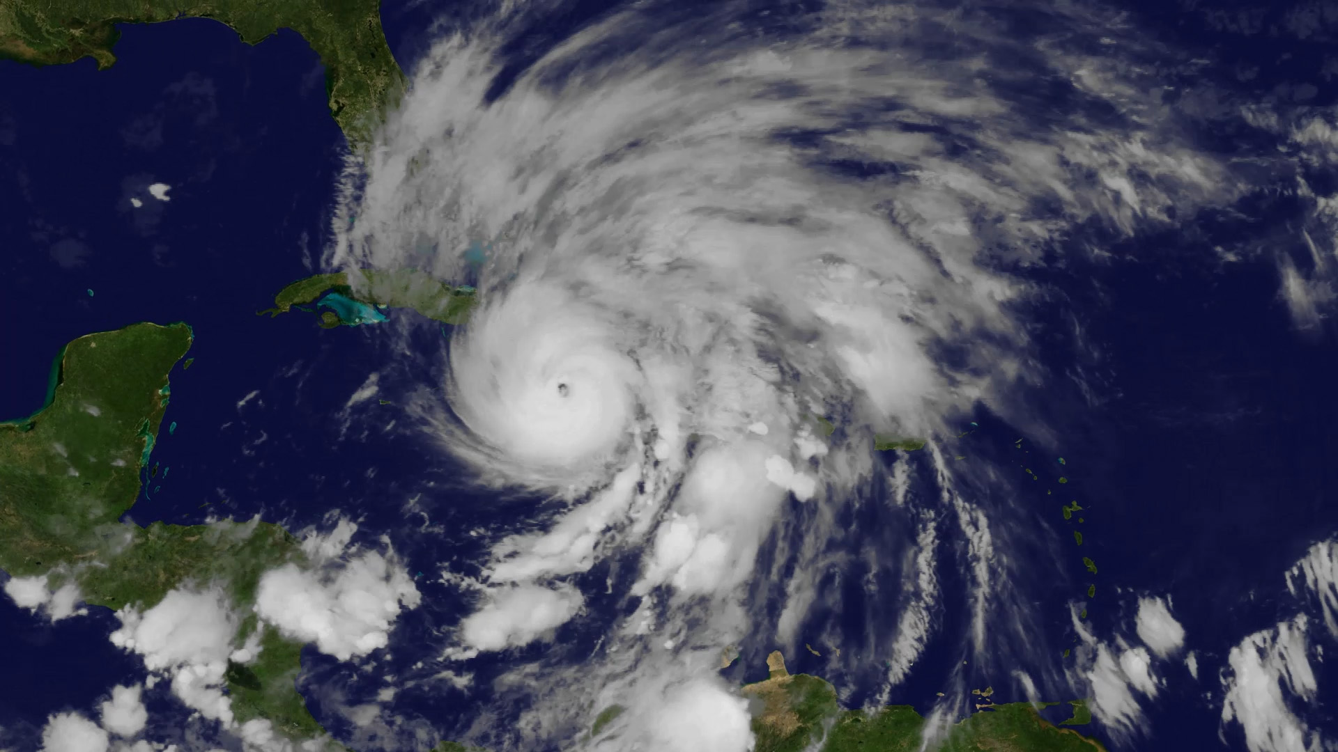
“GOES-13 was a reliable work horse, supplying meteorologists with the crucial imagery and data, which enabled NOAA to provide accurate forecasts and warnings of storms, many of which are in the record books,” said retired Navy Rear Adm. Timothy Gallaudet, Ph.D., acting NOAA administrator.

In addition to the geostationary satellites, NOAA also operates a fleet of polar-orbiting satellites. The first of NOAA’s next-generation polar satellites is JPSS-1.  Launched November 18, 2017, JPSS-1 was renamed NOAA-20. Both types of satellites form the backbone of NOAA’s increasingly accurate weather forecasts.

Primary Sidebar

Sponsored Ad

Search

Latest News

  • Friday Smoke Forecast Looks Bad for Philadelphia, Baltimore, and Washington, DC
  • NOAA Announces the Official Arrival of El Nino
  • USGS Raises Volcano Alert Level to WARNING as Kilauea Volcano in Hawaii Erupts
  • Smoke Creating Very Hazardous Air Travel Conditions Around Philadelphia, Newark, and New York City Airports
  • Smoking 1/2 Pack of Cigarettes Healthier than Breathing in New York City’s Smoky Air Today; Same is True in Pennsylvania, New Jersey, and Other States
  • Smoke from Canadian Fires to Become More Thick in New Jersey, Pennsylvania, Connecticut, Rhode Island, and Massachusetts on Wednesday
  • Hurricane Center Monitoring Disturbance in Northeast Atlantic Ocean
  • USGS Raises Alert Level and Aviation Color Code for Volcano: ADVISORY / YELLOW
About | Careers | Contact | Contests
Terms | Privacy | Ad Choices
Weatherboy is a (R) Registered Trademark of isarithm LLC, All Rights Reserved.
All content herein is Copyright by Isarithm LLC 1997-2022