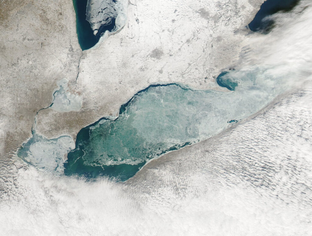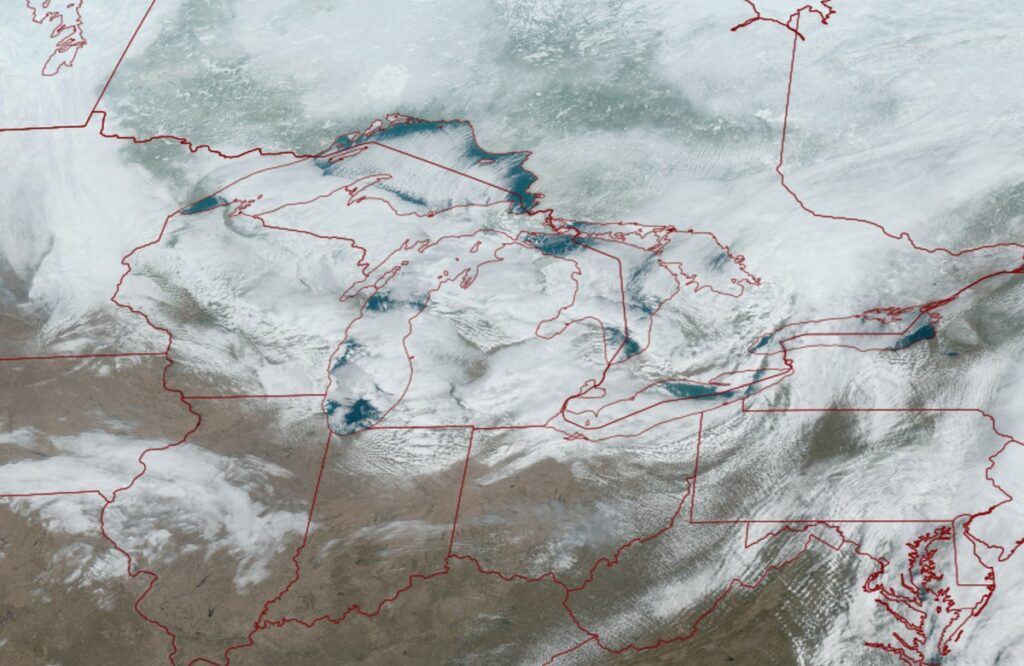
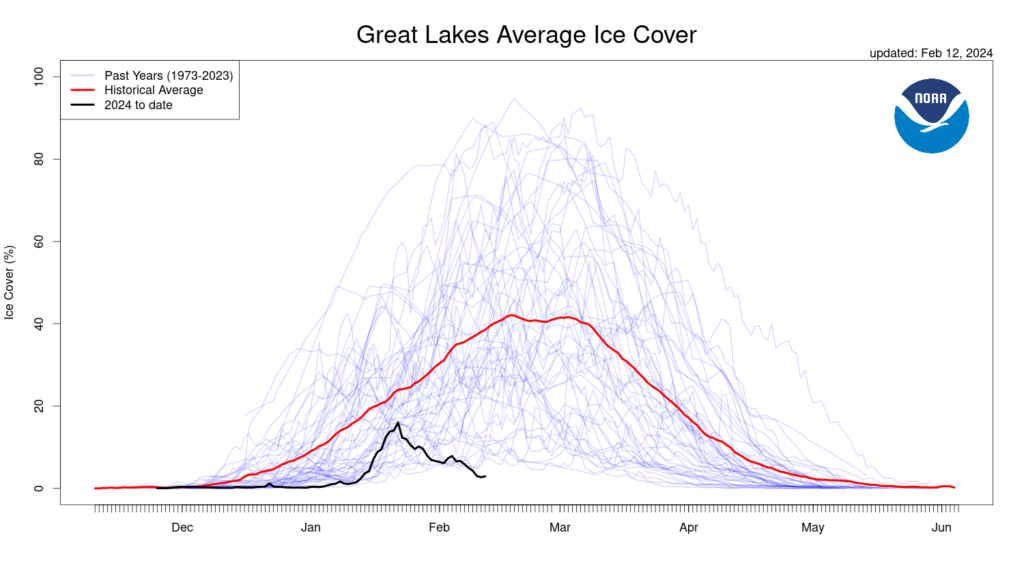
NOAA’s Great Lakes Environmental Research Lab (GLERL) announced today that ice cover over the Great Lakes is missing; ice coverage for mid-February has now reached a historic low, with overall ice cover over the lakes now at an unprecedented 3%. Lakes Superior, Michigan, and Huron are all at historic lows while Lakes Erie and Ontario are tied with historic lows.
GLERL scientists study, monitor, and predict ice coverage on the Great Lakes. GLERL says that understanding the major effect of ice on the Great Lakes is crucial because it impacts a range of societal benefits provided by the lakes, from hydropower generation to commercial shipping to the fishing industry. The amount of ice cover varies from year to year, as well as how long it remains on the lakes.
Beyond impacts to societal impacts, the amount of ice on the Great Lakes also plays an important role in determining regional climate patterns, lake water levels, water movement patterns, water temperature structure, and spring plankton blooms.
Some of the coldest air masses of the year often slide down from Canada over the Great Lakes at this time of year. Because they’re generally frozen, winds are unable to pick up much moisture from them and deposit them in down-wind areas in the form of lake effect snow squalls and storms. But with the lakes uncovered, the stage is set for significant lake effect snow events in the weeks ahead should cold winds blow across the lakes.
NOAA’s GLERL has been monitoring ice cover over the region for more than 30 years. Through development, maintenance, and analysis of historical model simulations and observations of ice cover, surface water temperature, and other variables, GLERL scientists have been exploring the relationships between ice cover, lake thermal structure, and regional climate.
Weekly ice cover imaging products produced by the Canadian Ice Service started in 1973. Beginning in 1989, the U.S. National Ice Center produced Great Lakes ice cover charts that combined both Canadian and U.S. agency satellite imagery.