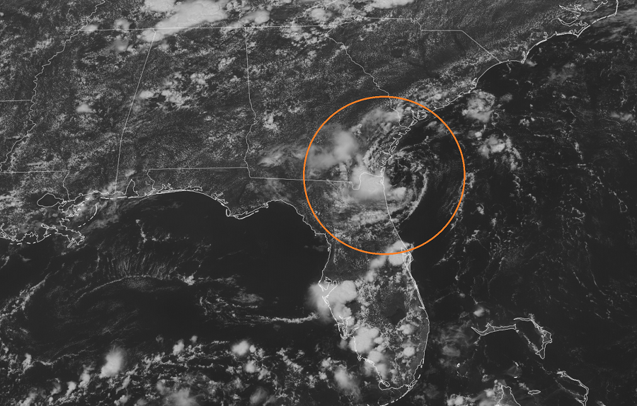
A system monitored for potential tropical cyclone development off the coast of Florida is no longer expected to develop much, but it will bring a threat of heavy rain into Georgia and northeastern Florida through tonight.
Satellite images and radar data indicate that shower and thunderstorm activity associated with a weak low pressure system located a short distance east of the southeastern Georgia coast remains disorganized and limited in coverage. According to the National Hurricane Center (NHC) in Miami, Florida, which has been tracking this disturbance since last week, development of this system is no longer likely before the low moves completely inland over the Georgia coast later today.
While the system won’t take on tropical cyclone characteristics, it will produce some very heavy rain. Locally heavy rainfall is possible over portions of the northeastern Florida and Georgia coasts through tonight. There could also be isolated flash flood conditions. As with any heavy rainfall event, the National Weather Service urges: “turn around, don’t drown; never drive through flood waters.”