The Atlantic and Pacific Hurricane Basins around the United States have calmed down again, with little activity now and no significant activity expected in the next 5 days. While the peak of the hurricane season is now through mid September, there doesn’t appear to be any threat to any U.S. state for at least the next 7 days. The last storm to threaten the United States was Hurricane Hector, which passed south of Hawaii last week. There’s been no other named storm threat to the U.S. in weeks nor are any expected over the next week.
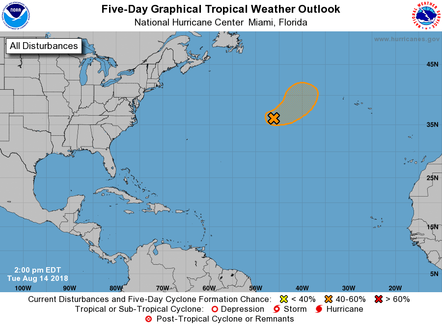
In the Atlantic Basin, the National Hurricane Center is monitoring one disturbance. A non-tropical low appears to be forming to the east of the larger complex low pressure system centered several hundred miles south of Cape Race, Newfoundland. According to the National Hurricane Center, this new low could acquire some subtropical characteristics by Wednesday. However, after that time the low should be moving northeastward over colder waters and be
absorbed by a larger extratropical cyclone. The National Hurricane Center believes there’s only a 40% chance that the system would develop prior to that absorption, and even if it did become something, it wouldn’t impact land during its short lifetime.

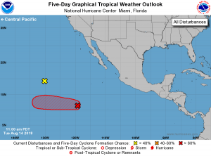
In the eastern Pacific Basin, the National Hurricane Center is monitoring two disturbances, one which is likely to become a Tropical Depression soon. A well-defined low pressure system is located just over 1,000 miles
southwest of the southern tip of the Baja California peninsula. According to the National Hurricane Center, showers and thunderstorms continue to become better organized there and there’s a 90% chance that a tropical depression will form there either later tonight or Wednesday while it moves to the west at 10-15 mph. This system is moving over open waters of the Atlantic and won’t impact any land. Long range guidance suggests it’ll weaken and move well south of Hawaii as it continues its westward voyage over the next week.

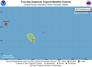
In the central Pacific Basin, things are much more quiet with Hector moving far away from Hawaii. While meteorologists at the Central Pacific Hurricane Center are keeping an eye on a disturbance well south and west of Hawaii, it is unlikely to develop into a tropical cyclone and will not impact Hawaii whether development occurs or not. Hector, as a tropical storm, continues to spin about in the western Pacific. Hector formed in the Eastern Pacific basin, entered the Central Pacific Basin, and is now in the Western Pacific Basin. Because it crossed the International Date Line, if it were to ever re-intensify to hurricane status, it would be called a typhoon instead of a hurricane. However, that is not expected; in fact, Hector is forecast to weaken and dissolve in the coming days over the open waters of the Pacific.