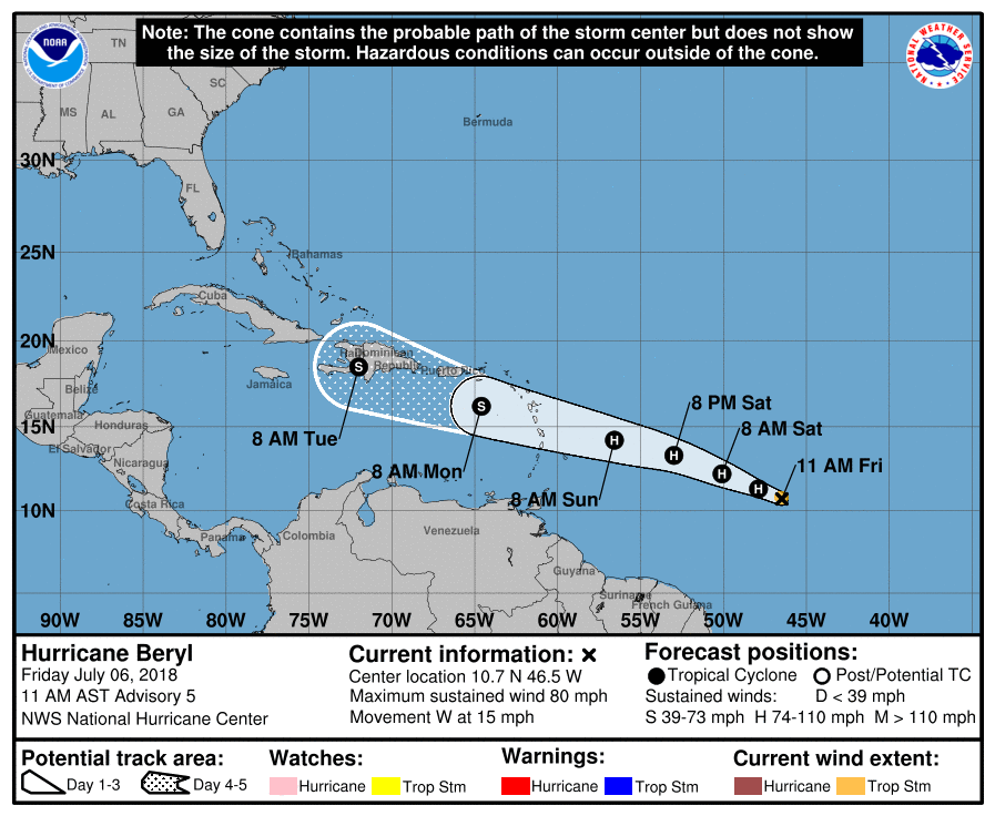
Hurricane Beryl, the second named storm of the 2018 Atlantic Hurricane Season, continues to march west. Beryl is a very small but potent storm system with maximum sustained winds near 80mph.
The National Hurricane Center (NHC) now expects Beryl to be a hurricane when it moves through the Lesser Antilles Sunday night or Monday, and the chance of some islands receiving direct impacts from wind and rainfall are increasing. However, because Beryl is a very small hurricane, the NHC says it’s too early to determine exactly where those impacts will occur. Based on the forecast path, Hurricane Watches could be needed for portions of the Lesser Antilles as soon as tonight.
Due to its very small size, there is greater-than-usual uncertainty in the analysis of Beryl’s current intensity. The NHC says that confidence in the official intensity forecast is also lower than
normal. Rapid changes in intensity, both up and down, that are difficult to predict are possible during the next couple of days.

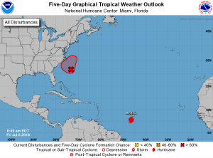
Meanwhile, the NHC is also tracking another system closer to the U.S. East Coast that they now expect to become a tropical cyclone. Showers and thunderstorms are increasing in association with a well-defined low pressure system located a few hundred miles southeast of the North Carolina coast. The NHC says that environmental conditions are expected to be conducive for additional development of this system, and a tropical depression is likely to form over the next couple of days while the system moves slowly northwestward and stalls or meanders near the coast of North Carolina over the weekend. The NHC is urging people along the Carolina coasts to closely monitor the future progress of this storm over the next several days. If this system were to increase in intensity beyond a tropical depression, it would be named Chris.