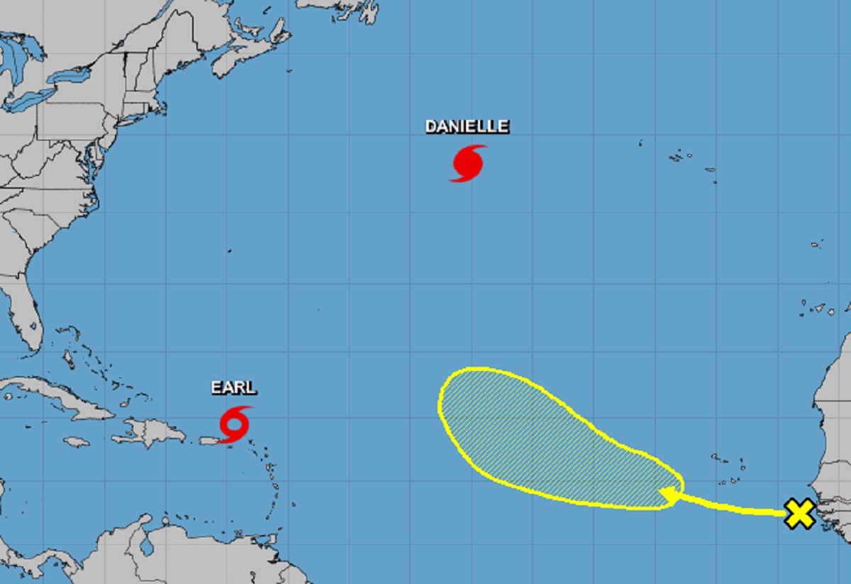
After weeks of quiet in the Atlantic basin, things have heated up a bit with three systems being monitored by the National Hurricane Center in the Atlantic: Hurricane Danielle, Tropical Storm Earl, and a potential new storm drifting off the coast of Africa.
For now, the National Hurricane Center (NHC) is issuing advisories on Hurricane Danielle, located about 1,000 miles west of the Azores, and on Tropical Storm Earl, located about 75 miles north of the Virgin Islands. While there are no advisories up for it, the NHC is also tracking a tropical wave in the eastern Atlantic.
A tropical wave located just off the African coast is associated with some disorganized showers and thunderstorms. According to the NHC, an area of low pressure could form later this week and subsequent gradual development is possible as this system moves generally west-northwestward over the east-central tropical Atlantic. For now, odds of development are low and slow; there’s no chance of tropical cyclone formation over the next 48 hours and only a 20% chance of formation over the next five days. Formation odds do increase beyond five days; by that time, the storm system will still be over the central Atlantic far from land.

While Earl will bring soaking rains to portions of Puerto Rico and the Virgin Islands today, the center of the system will remain off-shore as the storm curves out to sea. Danielle is forecast to continue to spin about over the open Atlantic and also curve out to sea.
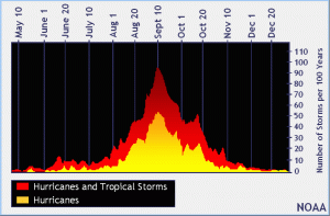
The traditional peak of the Atlantic Hurricane Center is September 10. While the season is off to a slow start this year, forecasters who produce seasonal forecasts for both NOAA and CSU’s Tropical Weather Outlook continue to call for an above-normal season.