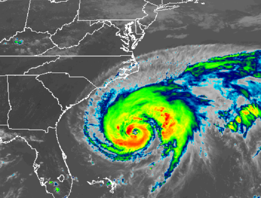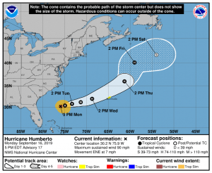
NOAA Hurricane Hunter aircraft investigating Hurricane Humberto have discovered that the system continues to gain strength. In advance of potential impacts from the hurricane, the Government of Bermuda has issued a Tropical Storm Watch there. A Tropical Storm Watch means that tropical storm conditions are possible within the watch area, generally within 48 hours.
As of the latest advisory issued a short time ago from the National Hurricane Center (NHC) in Miami, Florida, the center of the eye of Hurricane Humberto was located by a NOAA Hurricane Hunter aircraft near latitude 30.2 North, longitude 75.9 West. Humberto is moving toward the east-northeast near 7 mph. This general motion with a gradual increase in forward speed is expected through early Thursday. On the forecast track, the center of Humberto is expected to approach Bermuda Wednesday night.

Maximum sustained winds have increased to near 90 mph with higher gusts. According to the NHC, additional strengthening is expected during the next 48 hours, and Humberto is forecast to become a major hurricane by Tuesday night or Wednesday morning. Hurricane-force winds extend outward up to 30 miles from the center and tropical-storm-force winds extend outward up to 150 miles . The estimated minimum central pressure based on reports from the reconnaissance aircraft is 972 mb or 28.70 inches of mercury.
Direct and indirect impacts from Hurricane Humberto are possible in the coming days. Heavy, flooding rains could arrive on Bermuda as soon as Tuesday afternoon. Large swells generated by Humberto will increase along the coast of Bermuda by Tuesday night. Swells will affect the northwestern Bahamas and the southeastern coast of the United States from east-central Florida to North Carolina during the next couple of days. These swells could cause life-threatening surf and rip current conditions.