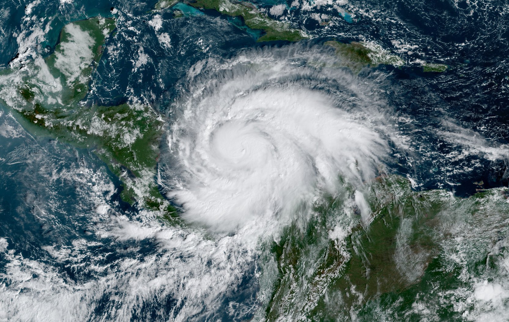
Hurricane Iota is gaining strength and is expected to rapidly intensify before slamming into Central America on Monday: the same areas hit hard just over a week ago by Major Hurricane Eta.
According to the National Hurricane Center in Miami, Florida, Iota is expected to continue to rapidly intensify and be an extremely dangerous category 4 hurricane when it approaches the coast of Central America on Monday. Potentially catastrophic winds and a life-threatening storm surge are expected along portions of the coast of northeastern Nicaragua and eastern Honduras where a hurricane warning is in effect.

Hurricane conditions are expected and storm surge impacts are possible on Providencia tonight and Monday. Tropical storm conditions are expected and hurricane conditions are possible by this evening on San Andres.
Through Thursday, heavy rainfall from Iota will likely lead to life-threatening flash flooding and river flooding across portions of northern Colombia and Central America. Flooding and mudslides in Honduras and Nicaragua could be exacerbated by Hurricane Etas recent effects there, resulting in significant to potentially catastrophic impacts. 20-30″ or more of rain could fall from this system.
