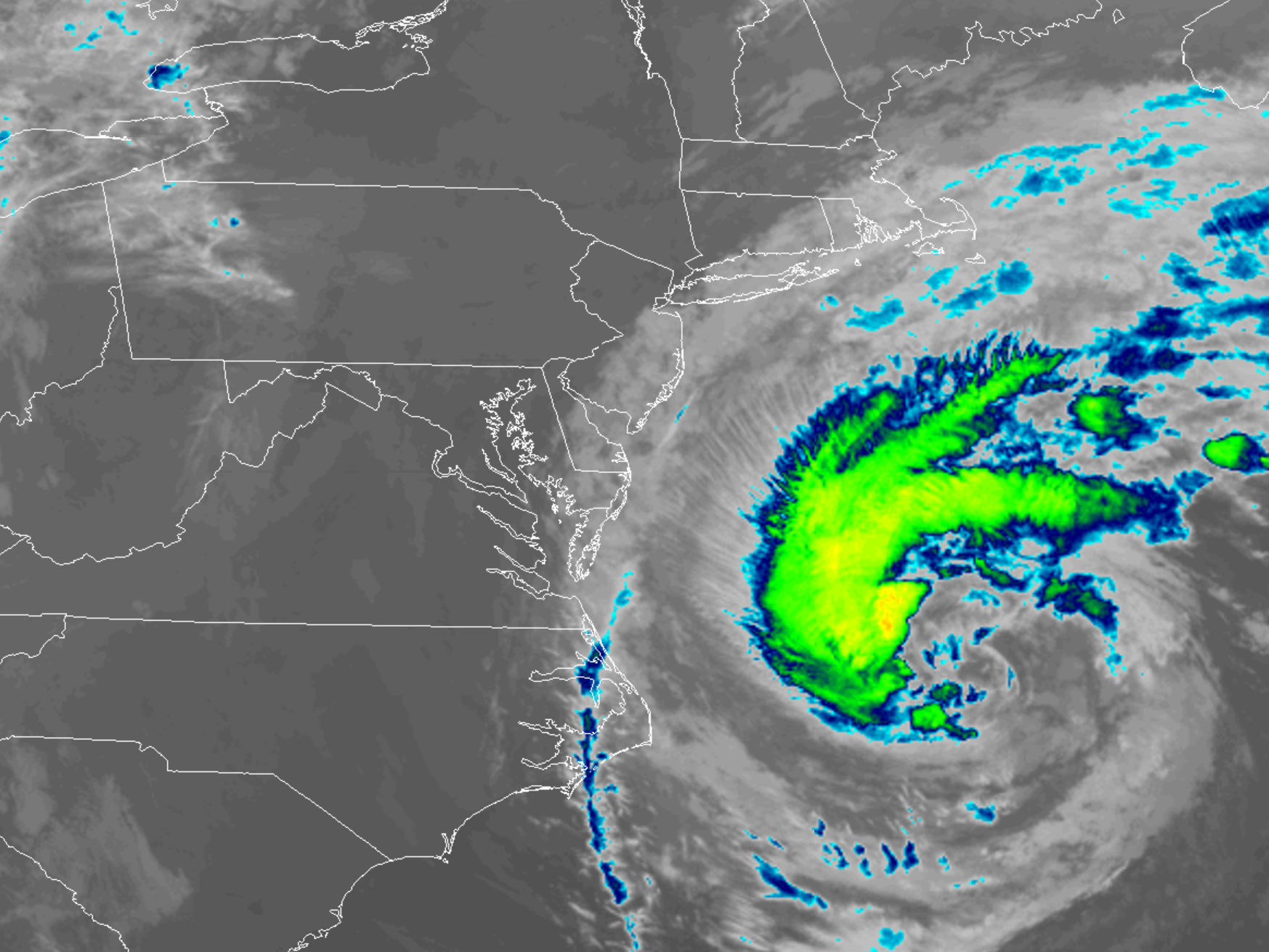
Hurricane Jose, a storm that has been tracked for two weeks, continues to spin about just southeast of the Jersey Shore. According to the National Hurricane Center (NHC), Jose continues to move erratically northward, with the center wobbling due to convective bursts firing up near its center. The hurricane is forecast to turn toward the northeast and east over the next two days as it moves around a ridge over the western Atlantic. After that point, the forecast becomes more uncertain, with some models curving the system south and west under a building high over the northeastern United States, and others drifting the cyclone eastward just out of the reach of the ridge.
The NHC has these key messages they want the public to know about this storm:
- While the center of Jose is currently forecast to remain offshore of the U.S. coast, the large cyclone is expected to cause some direct impacts in portions of New England, and a tropical storm warning is in effect for the coast of Rhode Island and a part of the Massachusetts coast, including Cape Cod. Any deviation to the left of the NHC forecast track would increase the likelihood and magnitude of impacts elsewhere along the U.S. east coast from Delaware to southern New England.
- Minor to moderate coastal flooding is possible from Delaware to southern New England during the next several days.
- Swells generated by Jose are affecting Bermuda, the Bahamas, and much of the U.S. east coast. These swells are likely to cause dangerous surf and rip current conditions for the next several days in these areas.
- Jose will produce heavy rain over a small part of southern New England and eastern Long Island as it passes offshore of these locations on Tuesday and Wednesday. Total accumulations of 1 to 3 inches are expected over eastern Long Island, southeast Connecticut, southern Rhode Island, and southeast Massachusetts. 3 to 5 inches are expected for Martha’s Vineyard, Nantucket and Cape Cod. This rainfall could cause isolated flooding. Elsewhere, Jose is expected to produce light rainfall with little risk of flooding over the mid-Atlantic coast and the northeast states.
As of the 8am advisory, Hurricane Jose, a category 1 storm, was located at 36.3N, 71.6W, which is about 235 miles east north east of Cape Hatteras, North Carolina and 350 miles south south west of Nantucket, Massachusetts. Maximum sustained winds are 75mph and the storm is moving north at 9mph. Minimum central pressure is at 973mb.