Hurricane Larry is racing away from Newfoundland this morning, forecast by the National Hurricane Center to become a Post-Tropical Cyclone soon. Not only will it transform into a post-tropical cyclone, but it’ll also blossom into a significant blizzard as it interacts with colder air around Greenland, dumping upwards of 3-5 feet of snow on Greenland’s southern and eastern coasts.
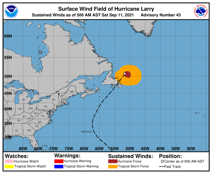
As of the latest update from the National Hurricane Center, Larry was about 286 miles north-northeast of Cape Race, Newfoundland and about 1,420 miles west-southwest of Reykjavik, Iceland. Maximum sustained winds were 75 mph, making this hurricane a “category 1″ on the Saffir-Simpson hurricane wind scale. Minimum central pressure is around 966 mb or 28.53”.
Hurricane Larry made landfall on Newfoundland last night, the first hurricane to do so since Igor in 2010.
Today, Larry is racing off to the northeast at 30 mph. According to the National Hurricane Center, Larry is forecast to transition into a post-tropical cyclone later today and merge with a larger non-tropical low by tonight. The end result will be a significant snowstorm that will dump more than a yard of snow on portions of Greenland as 50 mph + winds roar through the island.
While Larry moves away from Newfoundland, water levels will gradually subside in southeastern Newfoundland where a storm surge impacted the region as Larry made landfall. While the water levels will subside there, significant swells from the storm will continue to batter Bermuda, the U.S. East Coast, and coastal Canada through tonight. These swells are likely to cause life-threatening surf and rip current conditions, making a visit to the beach perhaps a deadly one. People are urged to stay out of the water until calmer conditions return.
