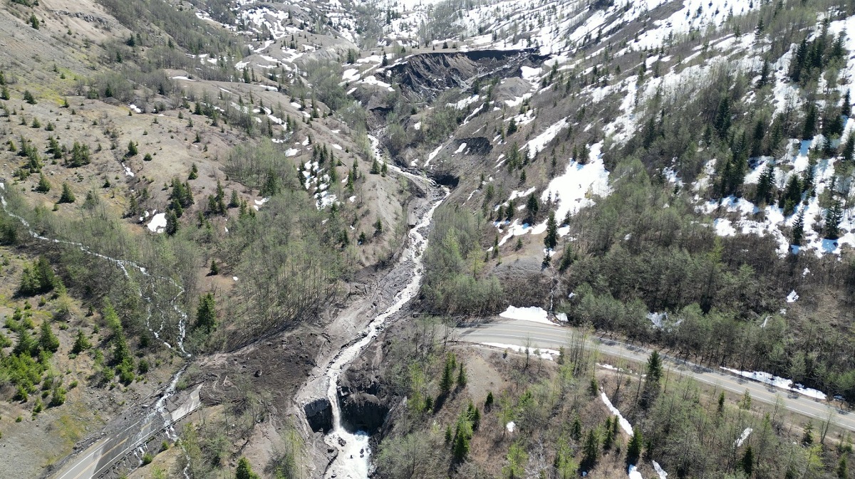
On Sunday, shortly after 9 pm, debris from an adjacent hillside fell about 2,000 feet above SR 504 – Spirit Lake Memorial Highway and covered the roadway with rock, mud, ice, and water, causing catastrophic damage to the Spirit Lake Outlet Bridge which connects visitors to the Johnston Ridge Observatory near Mount St. Helens. The landslide trapped 13 people and a dog who were at the observatory site; they were eventually safely evacuated by helicopter to safer ground. People have been visiting the volcano ahead of its 43rd anniversary of its explosive eruption.
According to the Washington State Department of Transportation (WSDOT), Route 504 will remain closed indefinitely due to the size of the slide and the instability of the hillside above the highway. The highway closed shortly after 9 p.m. Sunday, May 14, when debris from an adjacent hillside fell about 2,000 feet and covered the roadway with rock, mud, ice, and water causing catastrophic damage to the Spirit Lake Outlet Bridge. Engineers need to examine the hillside above the roadway and debris below to develop next steps.
“Additional safety analysis is needed, but due to the ongoing geological instability in the area, it’s too soon to tell when we’ll be able to safely do that work,” said Brad Clark, WSDOT Southwest Region Maintenance Manager. “We appreciate everyone’s patience during this emergency.”

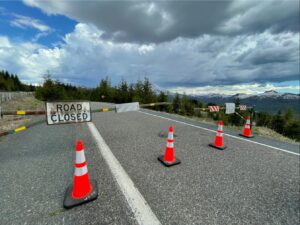
Spirit Lake Memorial Highway is closed to all travelers at milepost 43 near the Science and Learning Center at Coldwater. The closure blocks access to Coldwater Lake and the Johnston Ridge Observatory as engineers work to assess the debris flow and ensure for public safety. There is no detour available. WSDOT strongly encourages visitors to not venture beyond the closure location due to the severity of the unstable hillside – the closure is in place for everyone’s safety.
WSDOT is working in coordination with the U.S. Forest Service, U.S. Army Corps of Engineers, U.S. Geological Survey, and Skamania and Cowlitz counties in evaluating slope conditions. This work will help inform what steps are needed to stabilize the slope, cleanup, and rebuild the roadway and bridge.

The cause of the landslide is yet to be determined, though initial assessment is that unseasonably hot temperatures likely drastically melted snowpack which oversaturated soils and overfilled the channels of the slopes causing debris to join high water, which built up and then broke free, rolling downstream washing out the 85-foot bridge span and roadway.
In addition to cutting off visitor traffic to the Mount St. Helens area, USGS says power was cut off to the Johnston Ridge Observatory. “While the loss of power disrupted a major telemetry hub for Mount St. Helens monitoring, Pacific Northwest Seismic Network stations on the volcano are still providing plenty of data. There is no volcanic unrest associated with this debris flow,” USGS wrote in a Tweet describing the incident.
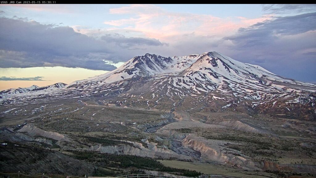
The debris flow involved in this incident is material left over from the 1980 debris avalanche and eruption of Mount St. Helens. The May 18, 1980 eruption remains the deadliest and most economically destructive volcanic event in U.S. history. Fifty-seven people were killed; 200 homes, 47 bridges, 15 miles of railways, and 185 miles of highway were destroyed. A massive debris avalanche, triggered by a magnitude 5.1 earthquake, caused a lateral eruption that reduced the elevation of the mountain’s summit from 9,677 ft down to 8,363 ft , leaving a 1 mile wide horseshoe-shaped crater.
As an explosive dacite volcano with a complex magmatic system, Mount St. Helens is expected to erupt again in the future. Nearby towns of Castle Rock, Olympia, Vancouver, and Yakima in Washington and Portland in Oregon are at risk from future eruptions. USGS describes the threat potential of Mount St. Helens “very high”.