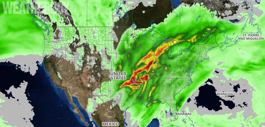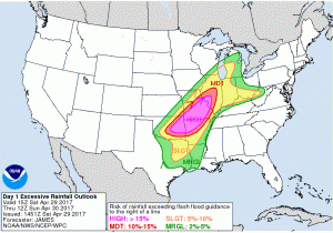
Numerous Flood Warnings are up for the middle of the country as a slow-moving low pressure system brings catastrophic rainfall amounts. By the time this storm system wraps-up, some locations will see 6-12″ of total rainfall amounts.
Thunderstorms, some severe, will continue to produce tremendously heavy rainfall over the same areas through to this evening. The area with the greatest potential for excessive rainfall includes Oklahoma, Arkansas, and Missouri. Very heavy rains will extend broadly from the Southern Plains to the Upper Midwest. Life threatening flash flooding is expected with these storms.

Damaging winds with gusts over 60mph, large hail, and isolated tornadoes will also create their own problem for the balance of the weekend.
Because these heavy downpours and thunderstorms are re-firing over the same location over and over, the risk of massive, life-threatening floods is very high. Because the storms barely move once they form, some areas could see several inches of rain in just a few hours. Such heavy rain overwhelms storm drains, creeks, and rivers, leading to flood issues.
It is important to remember: turn around, don’t drown; never drive through flood waters.
The severe weather will shift east on Sunday, threatening portions of Arkansas, Louisiana, and Alabama with rough weather from morning to night then. The threat of heaviest rains on Sunday will be focused around the Mississippi River from southeastern Missouri to northern Louisiana.