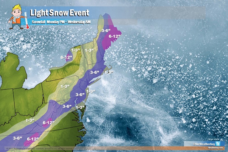
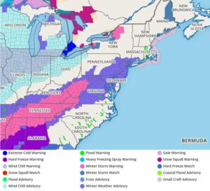
A light snow event is forecast to unfold over the next 48 hours, bringing a coating of snow to a few inches to a region that hasn’t seen much in the way of snow in a long time: the I-95 corridor from Washington DC to New York. With snow arriving in this region, the National Weather Service has issued Winter Weather Advisories for large portions of the Mid Atlantic from late today into tomorrow. More snow is expected over the Northeast tomorrow into early Wednesday morning, prompting Winter Storm Watches to be issued there too.
A coastal low pressure system will develop over and just offshore of the southeastern US today and tonight and move northeastwards with time. This coastal low pressure will bring a modest snow event to much of the Mid Atlantic region tonight into Tuesday, dropping a widespread 2-4″ snowfall.
While Arctic air in place will produce mainly snow for this storm, a warmer layer of air aloft is forecast to develop during the early Tuesday morning hours which could change the snow to sleet, freezing rain, or a mix of sleet / freezing rain / snow. With such a mix, which would possible occur over extreme southern New Jersey and portions of southern and eastern Delaware, snow totals would be less there.
Generally, 2-4″ is expected along the I-95 cities of Washington DC, Philadelphia, and New York City. While this snow isn’t heavy for the region, this will be the most significant snow to impact this corridor in more than a year and in places like Philadelphia, more than 2 years. As such, unfamiliar drivers with a lack of winter driving hazards may create traffic hazards here.
The coastal low pressure system will head to the northeast Tuesday night, bringing an end to the light snow around New York City and points south by lunchtime Tuesday while heavier snow will develop over New England, especially eastern portions of Maine.
As the low moves away, a surface high pressure centered to our southwest will move eastwards with time. By Wednesday night, this high pressure will be centered over the eastern US.
Through this winter weather event, lake effect snows will also fall down-wind from Lake Ontario, dumping isolated but significant snowfall there too. The snow that falls in that portion of Upstate New York won’t be tied to the precipitation shield of the coastal storm moving to the south.
Unlike other coastal storms in recent weeks, this will be a fast mover with limited impacts to the coastline.
