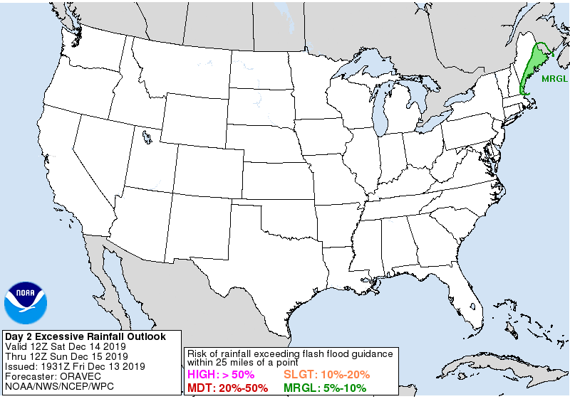
A soaking storm will impact portions of the East Coast tonight into tomorrow. While rains will be moderate to heavy at times, the threat of severe weather will diminish tonight in the southeast with no severe storms expected within the storm system tomorrow. Additionally, there is only a moderate risk of excessive rainfall over the next 36 hours which will keep the threat of flash flooding and river flooding low.

A rapidly deepening surface low pressure system will lift through Pennsylvania early Saturday with its cold front moving eastward through southern New England. An embedded surface wave developing along the front will ride the eastern New England coast into coastal Maine preceded by a relatively quick but impressive surge in moisture as the upper trough takes on a negative tilt. There’s considerable moisture to work with; as an example, precipitable water values around 1.50″ would be about 4 standard deviations above average for mid-December in coastal Maine. Despite the lack of instability, strong dynamics with the system would encourage locally heavy rain to lift northeastward early Saturday north of Boston along I 95. With >200% of normal precipitation over the past couple of weeks, an additional 1-2+ inches of rain may cause some localized flash flooding concerns; however, those concerns are limited to extreme eastern Maine and southeastern New Hampshire. Elsewhere across the Northeast and Mid Atlantic, a flood threat isn’t expected to materialize.
While some thunder is possible in southeastern New England and the central Mid Atlantic states tomorrow, storms are not expected to reach severe limits there or elsewhere in the country.