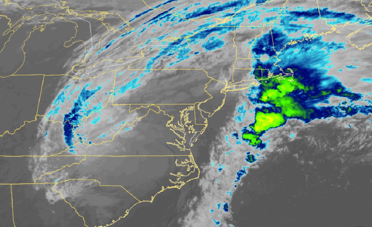
Soaking rains that are lingering around from Ian are pushing through the northeast, eventually existing the U.S. completely soon. While the rain has wrapped up across the southeast and much of the Mid Atlantic, flooding concerns persist because of significant run-off issues. It will take some time for all the rain that fell within the last 48 hours to make its way through creeks and streams to rivers and beyond, leading to some flooding even after the rain has long stopped.
The National Weather Service cautions, “Turn around, don’t drown! Never drive through flood waters.”
This is why you shouldn’t walk around, even if flood waters look shallow. Look where this car was as the surge retreated in Matlacha, Florida. #HurricaneIan #FLwx pic.twitter.com/fQNOBFe1j3
— the Weatherboy (@theWeatherboy) September 30, 2022
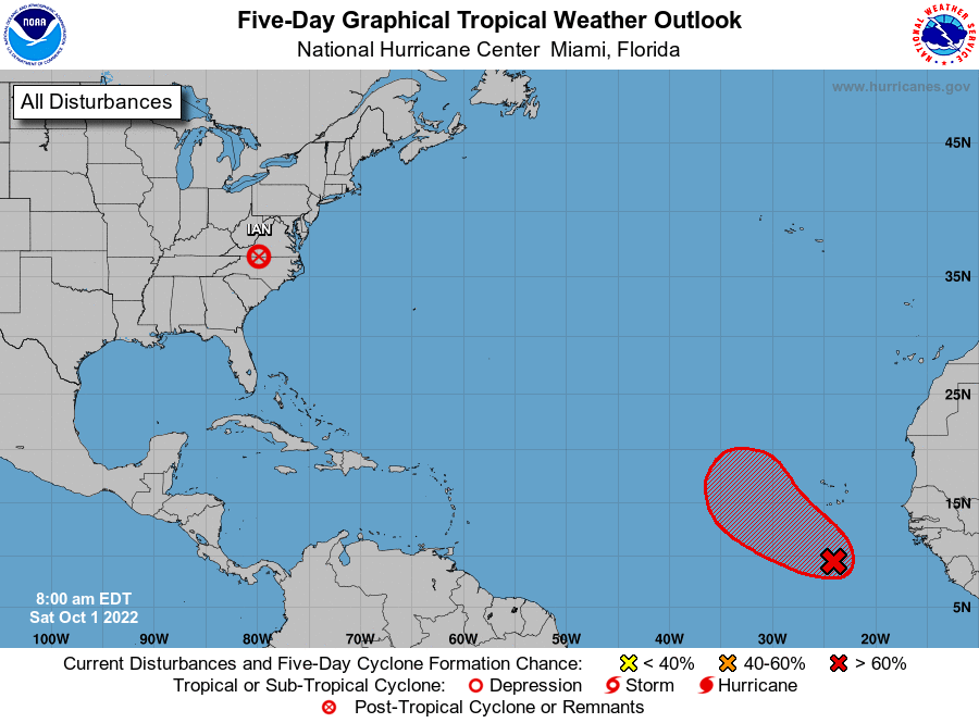
Fortunately for the United States as it begins recovery efforts on the destruction created by Ian across large portions of the eastern states, the National Hurricane Center (NHC) expects no tropical cyclone formation around North America for the next 5 days. The NHC says it is likely that a new tropical cyclone will form soon over the far Atlantic, but that is not forecast to approach North America at this time.
