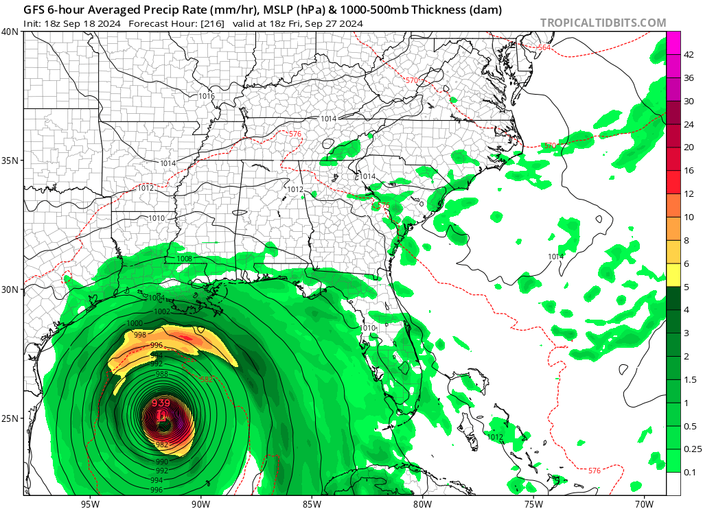
Computer forecast models used by meteorologists to aid in their forecasting are suggesting that a tropical cyclone will take shape in the Gulf of Mexico during the middle to later part of next week. It is too soon to say how big it’ll become or where it’ll go; some suggest a path closer to Tampa while others suggest a path closer to Houston. The National Hurricane Center (NHC) continues to monitor the region for signs of any tropical cyclone development.
“A broad area of low pressure could form late this weekend or early next week over the western and northwestern Caribbean Sea,” the NHC says in their latest Tropical Outlook. They add, “Thereafter, some slow development of this system is possible through the middle of next week while it moves slowly to the north or northwest over the northwestern Caribbean Sea or the southeastern Gulf of Mexico.”
For now, there’s low odds of the tropical cyclone forming in the short term. The NHC says there’s a near-zero chance of formation over the next 48 hours but those odds grow to 30% over the next 7 days. Those odds will likely be fine-tuned in the coming days as the system takes shape and as better data around it is understood by the meteorologists and their computers forecasting its future.