The National Hurricane Center has announced they’re ready to expand storm surge related products to Hawaii for the upcoming hurricane season. The islands of Hawaii are within the Central Pacific Hurricane basin which has its own season; like the Atlantic Hurricane Season, it runs from June 1 through to November 30. Prior to this season, only the U.S. Gulf and East Coasts, Puerto Rico, and the U.S. Virgin Islands had these new storm surge products available.
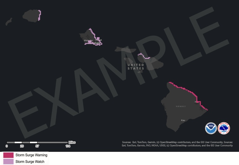
Now, meteorologists in Honolulu with the Central Pacific Hurricane Center unit of the National Hurricane Center will have the ability to issue Storm Surge Watches and Warnings for the main Hawaiian Islands. A Storm Surge Warning communicates the danger of life-threatening inundation from rising water moving inland from the shoreline somewhere within the specified area, generally within 36 hours, in association with an ongoing or potential tropical cyclone, a subtropical cyclone or a post-tropical cyclone. A Storm Surge Watch communicates the possibility of life-threatening inundation from rising water moving inland from the shoreline somewhere within the specified area, generally within 48 hours.

Starting this upcoming season, the National Hurricane Center (NHC) will also begin issuing a Peak Storm Surge Forecast Graphic for the main Hawaiian Islands that shows the expected inundation along the immediate coast from storm surge and tide that are provided in the tropical cyclone public advisory .
“These values represent the height that water could reach above normally dry ground somewhere within the specified areas,” said the NHC in a statement announcing the availability of this new forecast product. “A range of values is given to express forecast uncertainty and to account for varying coastal geography. Colors are based on the highest value in the associated forecast range, thus different forecast ranges can appear as the same color.”
The NHC says that this graphic is subject to change every three hours in association with a new NHC full or intermediate public advisory.
