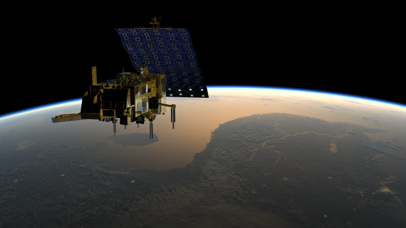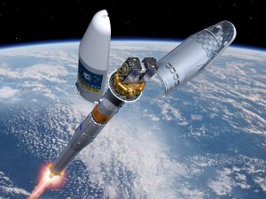
The Metop-C weather satellite was successfully launched into space last night from the French Guiana on board a Russian Soyuz/ST rocket. The launcher includes a fourth stage, known as the Fregat, which has a re-ignitable engine that is used twice to raise the weather satellite orbit to an altitude of 509 miles. Much closer to the Earth than the GOES-R series of weather satellites which are at about 22,300 miles above the Earth’s surface, this new Metop-C satellite will have a polar orbit around the Earth, providing meteorologists around the world with valuable weather data.
A joint effort between EUMETSAT, the European Space Agency, NASA, and NOAA, Metop-C is the third satellite in the EUMETSAT Polar System series, which started with the launch of Metop-A in 2006, followed by Metop-B in 2012.

Once operational, Metop-C will send valuable data to Earth that global computer forecast models will use. In the United States, about 85% of the atmospheric data that goes into weather prediction models comes from polar-orbiting satellites such as NOAA-20 and EUMETSAT’s Metop satellites. It takes about 100 minutes for these satellites to complete one full orbit around the Earth. As they pass near the North and South Pole once every 50 minutes, the polar satellites send data to ground stations at either Svalbard, Norway or McMurdo Station, Antarctica.
“We’re excited to have the next Metop satellite coming on board,” said James (Jim) Yoe, Chief Administrative Officer of the Joint Center for Satellite Data Assimilation, a multi-agency research center between NOAA, NASA and the U.S. Department of Defense. “Having a third Metop satellite in orbit doesn’t just provide backup. It also means more data and stability to our weather forecasting needs.”
Europe’s third polar orbiting weather satellite lofted into orbit #MetOpC
Details: https://t.co/Gxqp0aQvb1 pic.twitter.com/T42uJPEcMS— ESA (@esa) November 7, 2018
NOAA supplied four of the thirteen instruments that are flying on Metop-C. Two microwave radiometers will measure global atmospheric temperature and humidity in all weather conditions, as well as sea ice. A visible/infrared radiometer will deliver global visible and infrared imagery of clouds, oceans, ice, and land surfaces. A fourth instrument, the Space Environment Meter, will monitor the space plasma and radiation environment around the spacecraft.