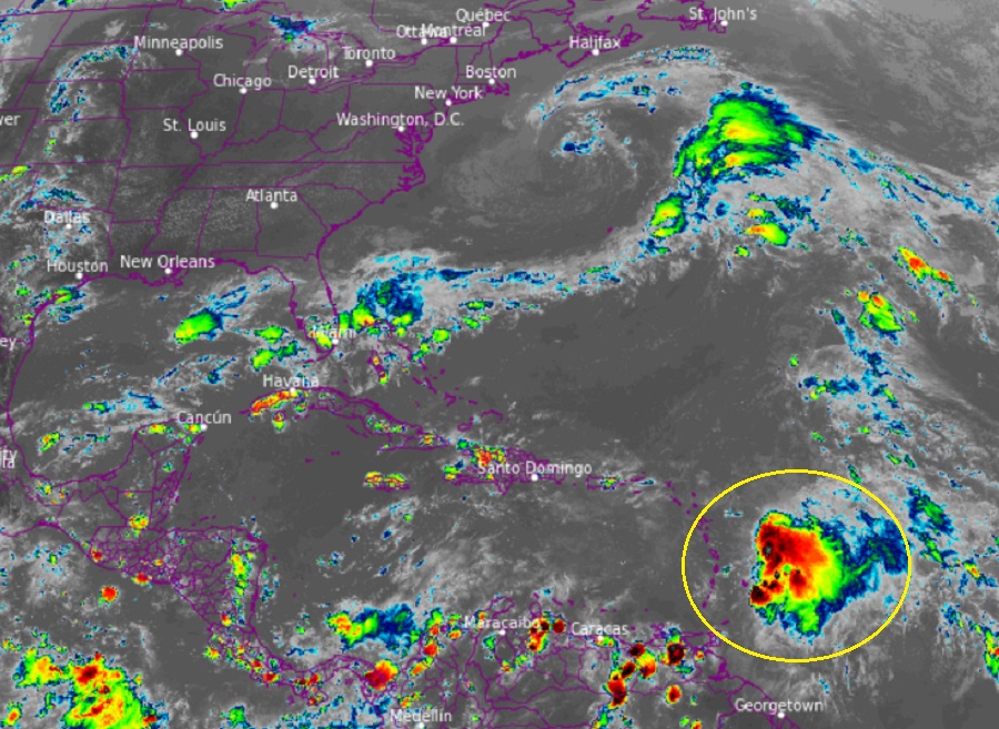
Tropical Storm Philippe is forecast by the National Hurricane Center (NHC) in Miami, Florida to become a hurricane later this week. Fortunately, it should be far enough away from land when it strengthens to only produce indirect impacts to islands mainly in the form of swells and rough surf. No impacts to the United States are expected at this time.
According to the latest advisory update from the NHC, Tropical Storm Philippe was located about 205 miles east-southeast of Barbuda and about 160 miles east of Guadeloupe. Maximum sustained winds are 50 mph; the storm is moving to the west-northwest at a slow 7 mph. The minimum central pressure in the storm is 1002 mb or 29.59″.
A Tropical Storm Watch is has been issued for the islands of Antigua and Barbuda. It is possible additional tropical storm watches could be required tonight or on Monday.
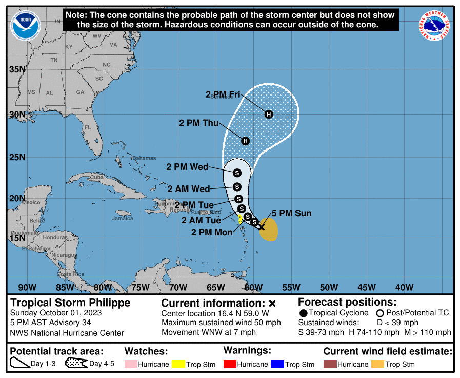
The NHC says that Philippe should track toward the northwest through Monday followed by a northward motion on Tuesday. On the forecast track, the center of Philippe is forecast to pass near or just northeast of the northern Leeward Islands on Monday and Monday night. Little change in strength is forecast during the next 48 hours, but the NHC warns that Philippe could begin to intensify more significantly around the middle of the week. Officially, the NHC forecast brings Philippe to hurricane strength by Thursday.
Philippe is forecast to produce very heavy rain in portions of the Northern Leeward Island. Barbuda and Antigua could see 4-6″ of rain by Tuesday while the rest of the Leeward Islands could see 2-4″. This rainfall may result in isolated to scattered flash flooding.
Tropical storm conditions are possible in the watch areas by Monday morning.
Swells generated by Philippe will affect portions of the Atlantic coasts of the northern Leeward Islands, the Virgin Islands, and Puerto Rico during the next few days. These swells are likely to cause life-threatening surf and rip current conditions.
