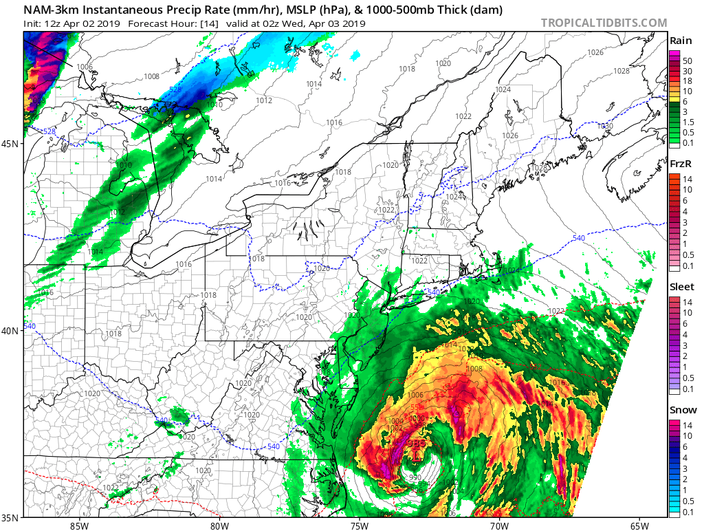
A potent coastal storm responsible for some late season flakes of snow in the Carolinas continues to track to the north and east up the U.S. East Coast. While it will be a significant storm with heavy precipitation and strong winds, the bulk of the storm will remain in off-shore waters. While this is good news for people in the Mid Atlantic and Northeast which could have seen heavy snow and rain if the system tracked more west, it is bad news for those in the water: cruise ships, cargo ships, and commercial fishing operations.
The National Weather Service has issued Hurricane Force Wind Warnings for the off-shore waters, with winds expected to exceed hurricane strength as waves build to 25 feet or higher.
A surface low will strengthen rapidly off the East Coast today, racing northeastward to the Canadian Maritimes by Wednesday night. For now, portions of the East Coast from North Carolina to Maine will feel the fringe effects of what’ll be primarily an ocean storm. The fairly progressive nature of this system will allow the low to remain decently offshore, but the rapid strengthening of the surface low, aided by upper-level jet dynamics, will allow the system to pivot more northeastward during the afternoon and evening as downstream ridging amplifies. This will keep the surface low in close enough proximity for the coastal states to be on the northwest periphery of the precipitation shield.
Had the storm tracked more to the west, the Mid Atlantic and Northeast would see significant snow, rain, and wind. But with the off-shore track in place, only light to moderate precipitation, mainly rain, is expected within roughly 80 miles of the coast.
As this storm exits, high pressure will briefly returning, keeping conditions dry and fair along the eastern U.S. for Thursday.