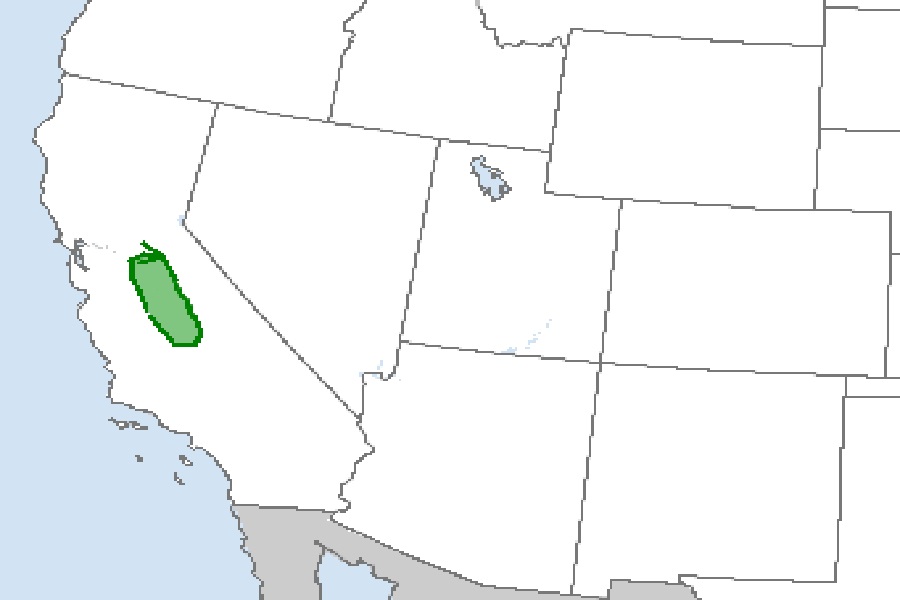
The rare threat of tornadic cells and resulting Tornado Warnings will return to portions of central California tonight, just days after another severe storm impacted California prompting the issuance of Tornado Warnings then. The National Weather Service’s Storm Prediction Center in Norman, Oklahoma is tracking the potential for severe thunderstorms and isolated tornadoes from Stockton through Merced and Fresno to Bakersfield.
According to the Storm Prediction Center (SPC), surface winds across the Central Valley of California continue to exhibit a southeasterly component which is contributing to shear. “Until the front passes and low-level winds veery, a small / brief / weak tornado cannot be ruled out with one of the stronger, low-topped convective updrafts,” the SPC said. They added, “In the wake of the front, which could clear southern portions of the Valley prior to midnight local time, severe weather is not expected.”
It might seem crazy, but California actually averages 11 tornadoes per year! 🌪️
They typically occur in the spring and fall seasons across the northern half of the Central Valley.#CAwx #NorCal pic.twitter.com/qmewI4q48i
— NWS Sacramento (@NWSSacramento) November 9, 2022
California does get tornadoes from time to time, but they rarely impact this part of the state and rarely touch down at this time of the year. On average, California sees 11 tornadoes per year; most occur in the spring and fall seasons and most impact the northern half of the Central Valley.
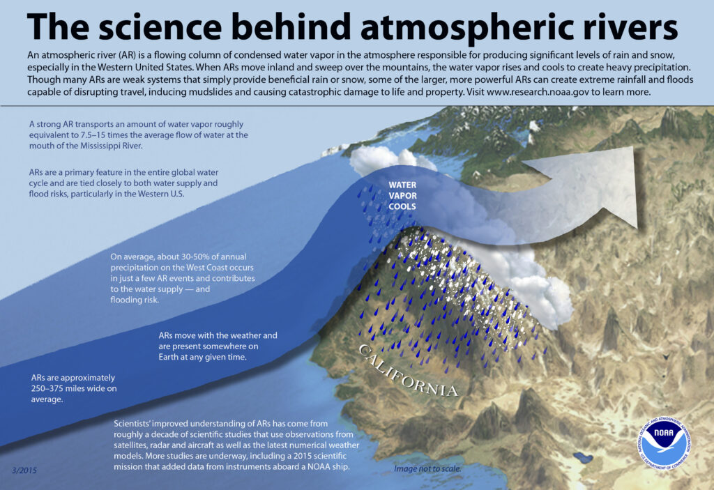
While the threat of severe thunderstorms and tornadoes will diminish tonight, more heavy rain is likely in the coming days as atmospheric river events continue to impact the state. While tornadic cells aren’t likely, more flooding rains and even severe thunderstorms are possible on Sunday across the Bay Area and northern coastal California; that threat will expand over much of coastal and interior California for Monday.
