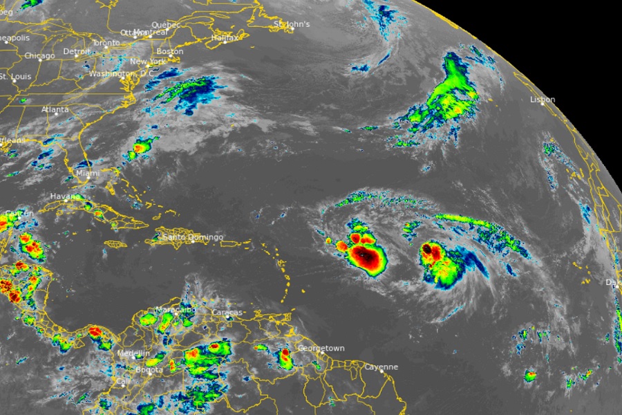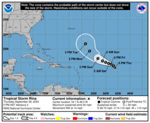
Tropical Storm Rina formed earlier today over the central Tropical Atlantic ocean, joining Tropical Storm Philippe in the same general area. With Rina’s formation, Philippe’s future track should be significantly altered, driving it out to sea rather than into Puerto Rico and the U.S. Virgin Islands as was feared yesterday.

As of the latest advisory from the National Hurricane Center (NHC), Rina is located about 1,110 miles east of the northern Leeward Islands with maximum sustained winds of only 40 mph. The storm is moving to the northwest at 14 mph. According to the NHC, the storm is expected to turn more westward tonight or tomorrow. While it’s weak for now, the NHC does expect some gradual strengthening during the next several days.
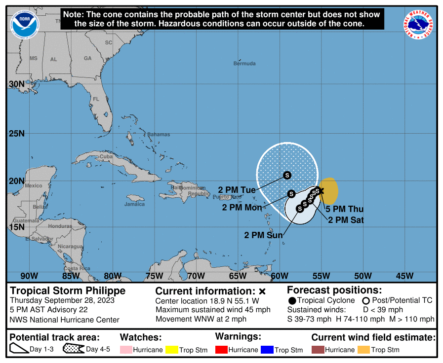
Meanwhile, Philippe is further west than Rina. According to the latest advisory from the NHC, it was 525 miles east of the northern Leeward Islands with maximum sustained winds of 45 mph. It is drifting to the west-northwest at 2 mph now.
The NHC says Philippe should have a slow westward or southwestward motion is expected during the next few days but it may become tangled up with Rita. It is even possible for Philippe to dissipate, with Rina taking on Philippe’s moisture and energy as it spins in the Atlantic Ocean.
While yesterday’s forecast from the National Hurricane Center brought the center of Philippe to Puerto Rico, it now has the storm making a shift to the north away from the islands. Even so, the National Hurricane Center urges people in Puerto Rico and the Virgin Islands to monitor the forecast should conditions change and the future track shifts again.
