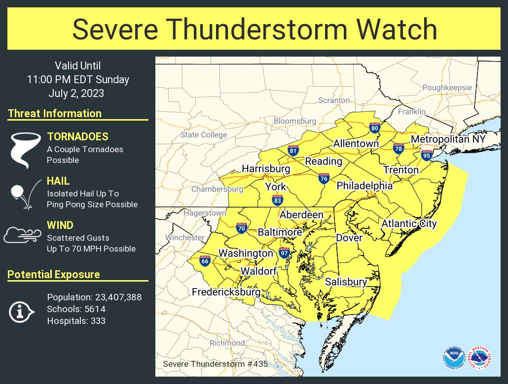
Another round of severe weather is pushing through portions of the Mid Atlantic today, prompting the National Weather Service’s Storm Prediction Center to issue a Severe Thunderstorm Watch for an area that includes portions of New Jersey, Delaware, Maryland, Virginia, and Pennsylvania; the Washington DC, Baltimore, and Philadelphia metro areas are included. Local National Weather Service offices have also been busy issuing Tornado Warnings and Severe Thunderstorm Warnings in the region too as severe cells pop-up at the county level.
According to the Storm Prediction Center (SPC), a pair of mesocyclone vorticities , one in the vicinity of southwest Virginia, and the other over western Pennsylvania, is expected to help focus downstream scattered thunderstorm development this afternoon into this evening. With relatively stronger mid-level westerlies compared to previous days, there will be sufficient deep-layer shear for organized multicell clustering and perhaps transient supercell structures.
The SPC warns, “Overall setup should support a primary threat of isolated to scattered damaging winds into early evening.” While wind is the primary threat, there are additional threats of isolated tornadoes and damaging hail in the region too.
In addition to severe storms, there could also be flooding rains. Because some storms will pop-up and/or travel over the same place many times, the threat of flooding exists. The National Weather Service cautions people: “Turn around, don’t drown; never drive through flood waters!”