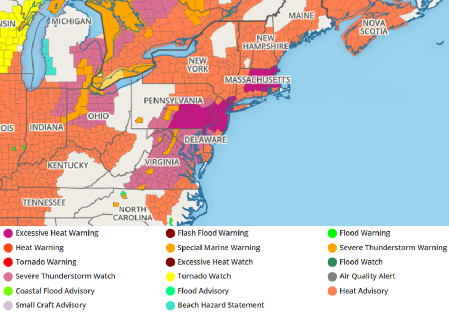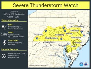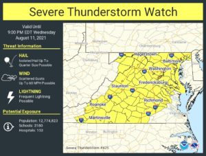
Severe thunderstorms are likely in the Mid Atlantic today, prompting the National Weather Service’s Storm Prediction Center to issue a Severe Thunderstorm Watch for a wide area. A Severe Thunderstorm Watch is now in effect for large parts of Virginia, Maryland, New Jersey, Delaware, and Pennsylvania, including Washington, DC, Baltimore, MD, and Philadelphia, PA.

According to the National Weather Service’s Storm Prediction Center, “a subtle midlevel perturbation with ongoing convection is moving slowly eastward over West Virginia. A diffuse surface lee trough and differential heating to the east into Virginia should support scattered afternoon thunderstorm development as surface temperatures exceed 90 F and dewpoints are maintained near or above 70 F.”
With a hot and humid air mass in place, this atmospheric disturbance moving through will help trigger severe thunderstorms. While not everyone will see a thunderstorm, some that do could see them approach severe limits and contain large hail and damaging wind gusts. Storms will also produce frequent lightning and heavy downpours. Some heavier downpours could be significant enough to create isolated pockets of flash flooding.

The Severe Thunderstorm Watch is in effect through 9 pm tonight. The Watch area actually consists of two specific adjacent watch areas. The first was issued for portions of Virginia and Maryland while the more recent watch was issued for portions of Pennsylvania, New Jersey, and Delaware. More watches and warnings are possible this afternoon and evening as storms develop and move through the Mid Atlantic.