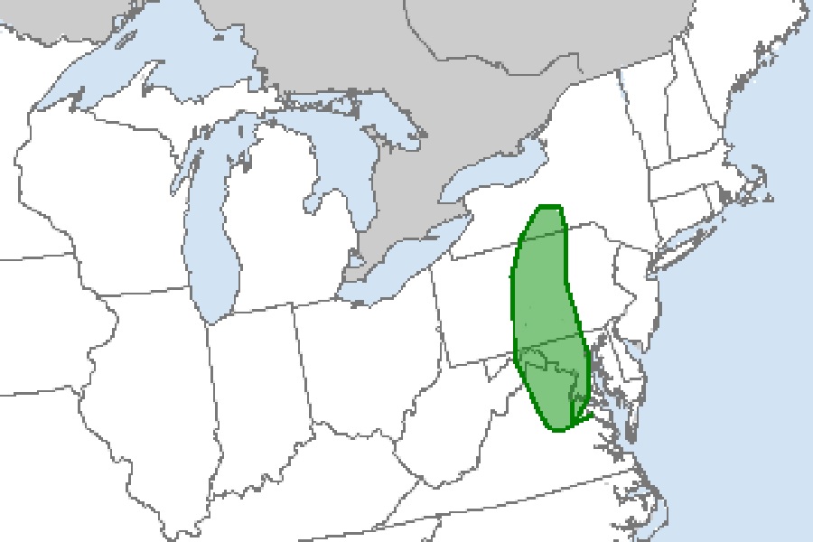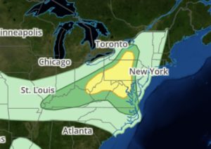
According to the National Weather Service’s Storm Prediction Center (SPC), thunderstorms associated with isolated wind damage and hail will be possible today across parts of the Ohio Valley and central Appalachians. In addition to wind and hail threats, there’s also the elevated risk again of isolated tornadoes across portions of south-central Upstate New York, much of central Pennsylvania and Maryland, eastern West Virginia, and north central Virginia. The Washington, DC and Baltimore, Maryland metro areas are contained in this elevated tornado risk area.
Several ingredients are coming together today to spark this severe weather outbreak. According to the SPC, an upper-level low will retrograde westward today toward the Mid-Atlantic coast, as a shortwave trough moves across the western Great Lakes. At the surface, a cold front will move southeastward across the lower Great Lakes and upper Ohio Valley. Ahead of the front, moderate to strong instability will be in place by midday. Thunderstorms are expected to develop by early afternoon along and ahead of the front, from southern Ohio northeastward into central Pennsylvania and southern New York. Because of this, several clusters of strong thunderstorms will likely move southward across the central Appalachians this afternoon. The wind-damage threat is expected to spread southward across western Maryland and into north central Virginia during the mid to late afternoon.

Further southwest across the lower Ohio Valley, moderate instability will likely be in place by early afternoon. Thunderstorms are expected to develop along and ahead of the front, with convection moving southeastward across the lower Ohio Valley.
Not everyone will see a tornado in the elevated tornado risk area, but people throughout the area under threat from severe thunderstorms today should be prepared for the possibility of a tornado. Even before storms fire-up, people should make sure they can get, hear, and act on any Severe Thunderstorm Warning or Tornado Warning that could be issued for their county.
Unlike past severe weather events, the eastern extent of severe weather shouldn’t be more east than Pennsylvania, sparing New Jersey from another possible tornado event there for now.