After a tease of summertime weather on Friday and Saturday, Mother Nature is bringing weather more appropriate to early November to portions of the eastern United States this evening and tomorrow. With temperatures 40-50 degrees colder today versus this time yesterday in portions of Pennsylvania, New Jersey, and New York, the summer tease is definitely long gone. The temperature on Mount Pocono in Pennsylvania dropped below freezing earlier this evening, prompting concerns of a light ice glazing there tonight.
The weather this evening around the frontal system will be rather raw, with cloudy, cold, and damp conditions persisting with gusty east-northeast winds. Some winds are gusting 30-40mph at times. As the frontal system moves north tonight, winds should decrease near the front. And while temperatures typically rise during the day and fall at night, we will see the opposite occur in the northern Mid Atlantic and southern New England areas as somewhat milder air pushes north with the front.
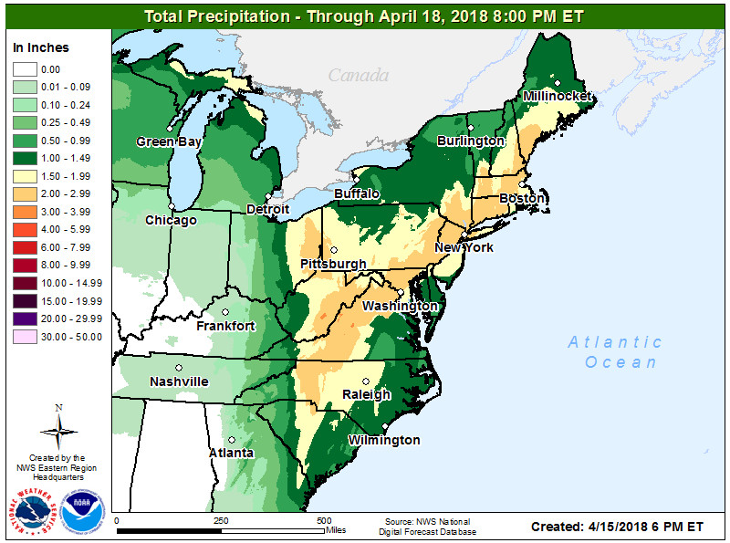
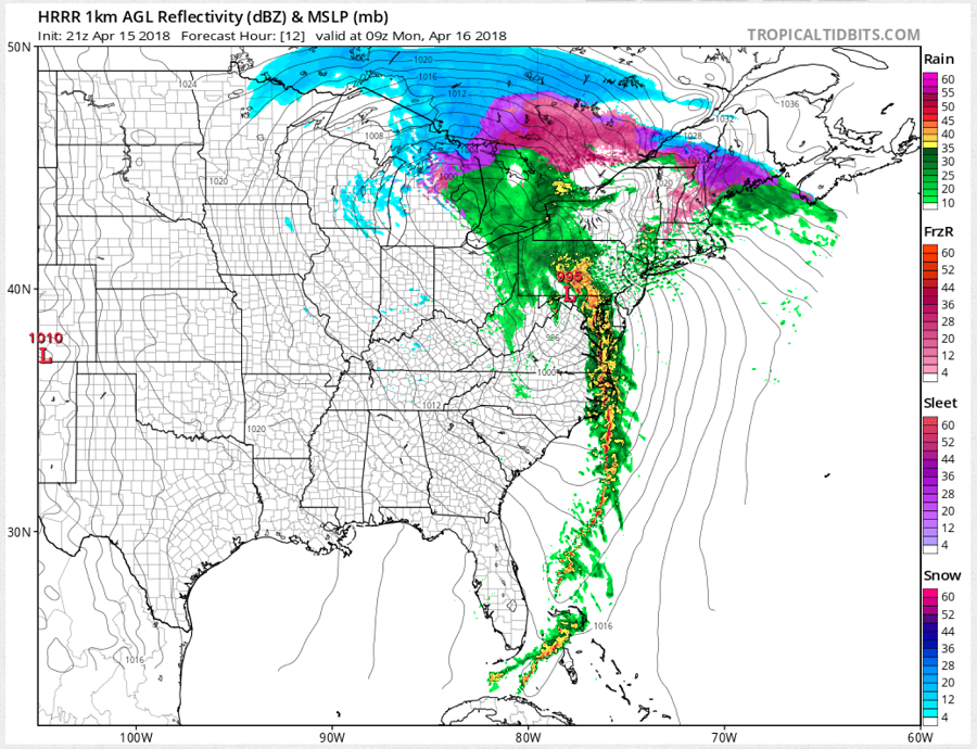
A cold front will approach the coast late tonight and tomorrow. With substantial large-scale lift from the warm-air advection aided by a strengthening synoptically-forced low-level jet stream, considerable differential cyclonic vorticity advection downstream of a potent vorticity maximum and improving jet coupling and attendant upper-level divergence, rain will break-out and will become heavy at times. With strong winds aloft, gusty winds may also exist during heavier showers as those upper level winds are dragged down to the surface in heavier precipitation. Some heavier showers may create localized flooding conditions; people in these heavy rain areas need to remember: turn around, don’t drown; never drive through flood waters!
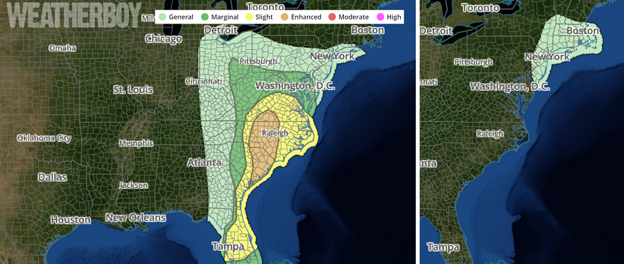
In the most unstable areas of the atmosphere around this storm system, strong to severe thunderstorms could form. Today, the threat extends from Virginia south to Florida. Tomorrow, while the most severe weather should be over, there could be lingering thunderstorm activity in portions of the northern Mid Atlantic and southern New England. Remember: a thunderstorm doesn’t need to be severe to be dangerous; lightning can kill in any storm. Always head indoors when thunder roars.
Once this frontal system clears the northeast later Monday, fair and dry high pressure will build into the eastern US.
