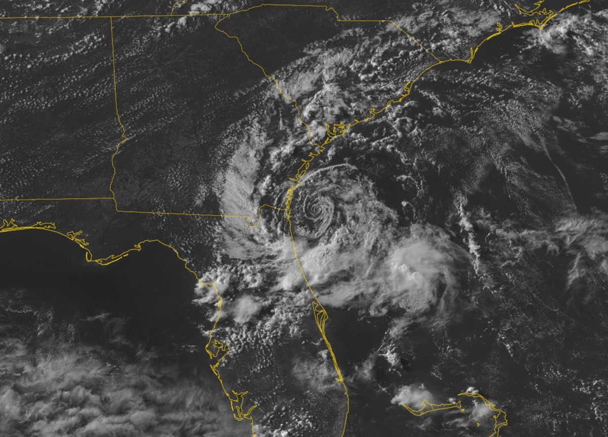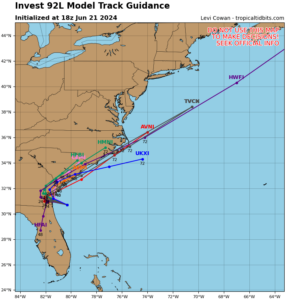
A swirl of clouds very visible on the latest GOES-East satellite view of the Florida coast may become the U.S. East Coast’s next tropical cyclone, although it won’t have much time to amount to too much. Forecasters with the National Hurricane Center (NHC) have been monitoring this area for potential development for several days now; they believe there are better odds that a tropical cyclone will form here than not before it moves onto land.

Satellite imagery and National Weather Service Doppler radar data indicate that showers and thunderstorms associated with a well-defined low pressure area centered about 80 miles east-southeast of Brunswick, Georgia, continue to lack the necessary organization for the low to be considered a tropical cyclone.
Recent Air Force Reserve reconnaissance aircraft data indicate that winds to 35 mph are occurring in association with the low. The NHC points out that it’ll take only a small increase in the organization of the showers and thunderstorms here to result in the formation of a short-lived tropical depression before it reaches the coast of northeastern Florida or Georgia tonight. Right now, the NHC believes there is a 60% chance that this will become a short-lived tropical cyclone.
In their latest Forecast Discussion, meteorologists with the Jacksonville, Florida-based National Weather Service Office write, “Regardless of classification or “name”, the low is steadily moving to the west-northwest, and is expected to make landfall along the southeast Georgia coastline by this evening. Impacts remain as stated for the past several forecasts: High risk for dangerous rip currents lasting through at least tonight, high surf at area beaches, and breezy conditions through the rest of the near term, especially by the coast. Showers and perhaps a few isolated thunderstorms should continue to pinwheel onshore this afternoon and evening and into tonight, with rain chances cutting off rather quickly the further inland you go.”
With this system moving on-shore, an abundance of atmospheric moisture may produce locally heavy downpours which could lead to isolated flash flooding. It is also possible winds could occasionally gust to 40 mph or more, especially in those heavier rain showers.