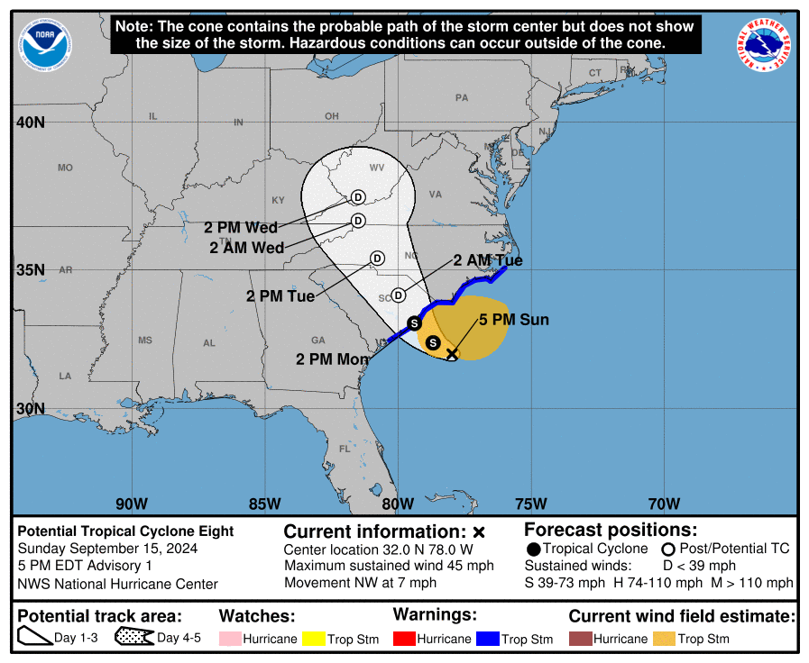
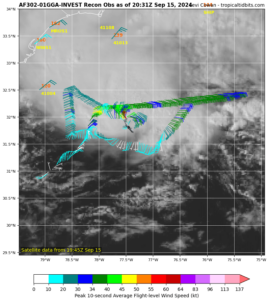
A swirl of clouds located just off the Mid Atlantic could become trouble for some in the coming days. The National Hurricane Center (NHC) in Miami, Florida continues to closely monitor it for signs of development; an Air Force Hurricane Hunter aircraft is currently investigating the system now. The NHC is forecasting the storm to become a named storm prior to making landfall on the coast and has classified the area as Potential Tropical Cyclone #8.
A non-tropical low pressure area is located along a frontal boundary a couple of hundred miles off the southeastern U.S. coast, and is producing winds to gale force north of its center. According to the NHC, the low is forecast to move northwestward or northward over the warm waters of the Gulf Stream toward the coasts of North Carolina and South Carolina, and it could become a subtropical or tropical storm during the next day or so if the associated front dissipates and showers and thunderstorms become sufficiently organized. The NHC believes there is now a 70% chance that a cyclone will form.
Regardless of tropical or subtropical development, the low is likely to bring gusty winds, heavy rains with the potential for flash flooding, coastal flooding, and dangerous beach conditions to portions of the U.S. Southeast and Mid-Atlantic coast during the next couple of days.
Inland freshwater flooding is also possible across South and North Carolina and portions of Virginia.
The amount and intensity of the hazardous conditions will be dependent on the final storm track and structure when it moves closer to shore.
The National Hurricane Center has advice for people in the Mid Atlantic: “Interests in these areas should monitor the system’s progress.”
With the threat of the system becoming a tropical storm, the National Hurricane Center has issued a Tropical Storm Warning for the area extending from Edisto Beach, South Carolina northward to Ocracoke Inlet, North Carolina.
A storm surge of 1-3 feet and rainfall of 3-6″ is possible where the storm moves in-shore.
If the disturbance is upgraded to a Tropical or Subtropical Storm, it would be given the name Helene.