The National Hurricane Center says a storm system is likely to develop over South Carolina this week; while this will produce soaking showers and storms for portions of the southeast, because it’s forming over land and not water, it is unlikely to develop any tropical storm characteristics which would have led to more rain and wind.
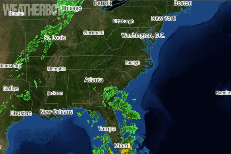
Showers and thunderstorms located over the Florida peninsula, the southeastern U.S. coast, the northwestern Bahamas, and the adjacent Atlantic and Gulf waters are associated with a broad trough of low pressure. According to the National Hurricane Center (NHC), a non-tropical low pressure area is forecast to form from this system on Thursday, but it is becoming increasingly likely that this development will occur inland over South Carolina and North Carolina.
“As a result, the low’s chances of acquiring subtropical or tropical characteristics have diminished,” says the NHC in today’s latest Tropical Outlook. But they add, “Regardless of development, heavy rainfall could cause some flash flooding along portions of the southeastern U.S. coast today and on Thursday.”
Elsewhere in the Atlantic, the National Hurricane Center says there are no other areas of concern and that no tropical cyclones are expected to form anywhere in the basin over the next 7 days.
The 2025 Atlantic Hurricane Season began on June 1 and runs through to November 30.
