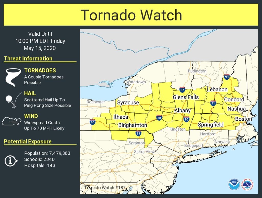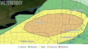
Severe weather is pushing into the northeastern United States today, prompting the National Weather Service to issue a Tornado Watch for some. Even beyond the Tornado Watch “box”, severe thunderstorms are possible across a wider area too; destructive straight-line winds and damaging, large hail are possible not only within the Tornado Watch area, but beyond it too.
A weather system moving through the northeast is responsible for today’s expected severe weather outbreak. As of mid day, a warm front extended from southern New England northwestward through northeastern New York state while a cold front extends from a weak surface low over the Great Lakes, southwest through Illinois. A progressive mesoscale convective vortex was located over Indiana with a similar feature also located over southeastern Lower Michigan. A more substantial shortwave trough moving through the Great Lakes will approach the northeast states late this afternoon and early evening, helping trigger more severe weather. According to the National Weather Service’s Storm Prediction Center, storms are expected to develop and intensify in pre-frontal warm sector from New York and southern New England and southwest into the Ohio Valley. Vertical shear profiles will increase, especially over the northeast, as the northern-stream shortwave trough approaches. Such a set-up is supportive of creating a few supercells capable of damaging wind, large hail, and a couple of tornadoes. Farther southwest across the Ohio Valley, the primary threat is expected to be damaging wind as storms concentrate into lines as they advance east.

A Tornado Watch is an alert issued by the National Weather Service when weather conditions are favorable for the development of severe thunderstorms that are capable of producing tornadoes. A tornado watch therefore implies that it is also a Severe Thunderstorm Watch. A “severe thunderstorm” by definition is a thunderstorm that produces one inch hail or larger in diameter and/or winds equal to or exceed 58 mph. A Severe Thunderstorm Watch is issued when severe thunderstorm formation is expected within a specific area. When weather RADAR or a trained observer spots a severe thunderstorm or a tornado, a Warning is issued. While Watches are generally issued for hours at a time, Warnings are generally issued in 15-30 minute increments for specific areas due to the imminent threat.
There’s a threat severe storms could roll through during the overnight hours in the northeast tonight and early tomorrow morning too . Before going to bed, residents should make sure they can hear and take action around any tornado or severe thunderstorm warning that could be issued.