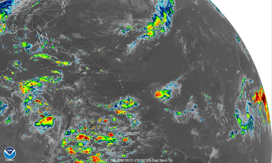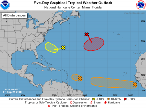
After a brief quiet period that followed the direct impacts of Hurricane Florence, action is heating up in the Atlantic again. Guidance had suggested that conditions would be more conducive for development in October, but it appears things may becoming more favorable in the short term. In an updated Tropical Outlook this afternoon, the National Hurricane Center is tracking four areas for potential development in the Atlantic.
First, shower and thunderstorm activity associated with a well-defined low pressure system located about 500 miles east of the Windward Islands has become better organized over the past few hours, and according to the National Hurricane Center, a tropical depression could form later tonight or Saturday. Strong upper-level winds and dry air are likely to prevent additional development of this system by late this weekend while it moves west northwestward to northwestward at around 10 mph.
The second is a low pressure system, associated with a tropical wave, which is located about 600 miles south-southeast of the Cabo Verde Islands. Although the showers and thunderstorms have decreased this afternoon, this system is still showing signs of organization. The environmental conditions are forecast to be conducive for slow development, and a tropical depression could form early next week while the system moves westward at 15 to 20 mph across the low latitudes of the eastern and central tropical Atlantic Ocean. At this time, the National Hurricane Center believes there’s a 60% chance that a system could form here over the next five days.

The third area of concern is a broad area of low pressure located about 100 miles southeast of Bermuda which is producing minimal shower activity. Development of this system is not expected during the next couple of days due to dry air and strong upper-level winds. However, environmental conditions could become more conducive for slow development when the system moves over the southwestern Atlantic Ocean during the early and middle part of next week. For now, the National Hurricane Center believes there’s only a 30% chance of formation here over the next five days.
The fourth and final area of concern is with regards to a non-tropical low pressure system. It is forecast to develop tonight or on Saturday over the central subtropical Atlantic Ocean midway between Bermuda and the Azores. Conditions are expected to be conducive for the low to acquire subtropical or tropical characteristics, and a subtropical or tropical cyclone is likely to form late this weekend or early next week while the low meanders over the central Atlantic Ocean. The National Hurricane Center believes there’s a 70% chance that formation will occur within the next five days there.
The 2018 Atlantic Hurricane season continues through to the end of November.