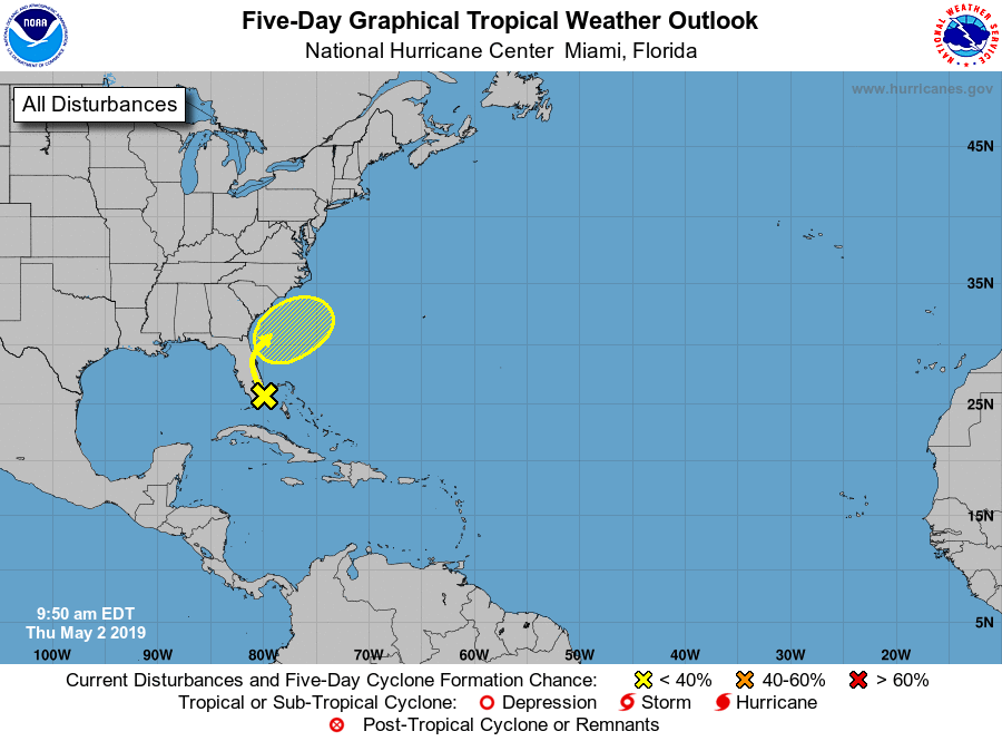
A tropical disturbance being tracked by the National Hurricane Center is moving closer to Florida, but experts there don’t expect a tropical cyclone to form at this time. A trough of low pressure that extends from South Florida northeastward over the western Atlantic for a few hundred miles is producing disorganized shower and thunderstorm activity. It is this area that the National Hurricane Center has been tracking for potential signs of development.
For now, according to the National Hurricane Center, environmental conditions are not expected to be conducive for significant development of this system a it moves northwestward, and then northward over the Florida peninsula and near the southeast United States coast during the next day or so. The National Hurricane Center believes there’s only a 10% chance that a tropical cyclone, such as a tropical storm, would form here over the next 48 hours.
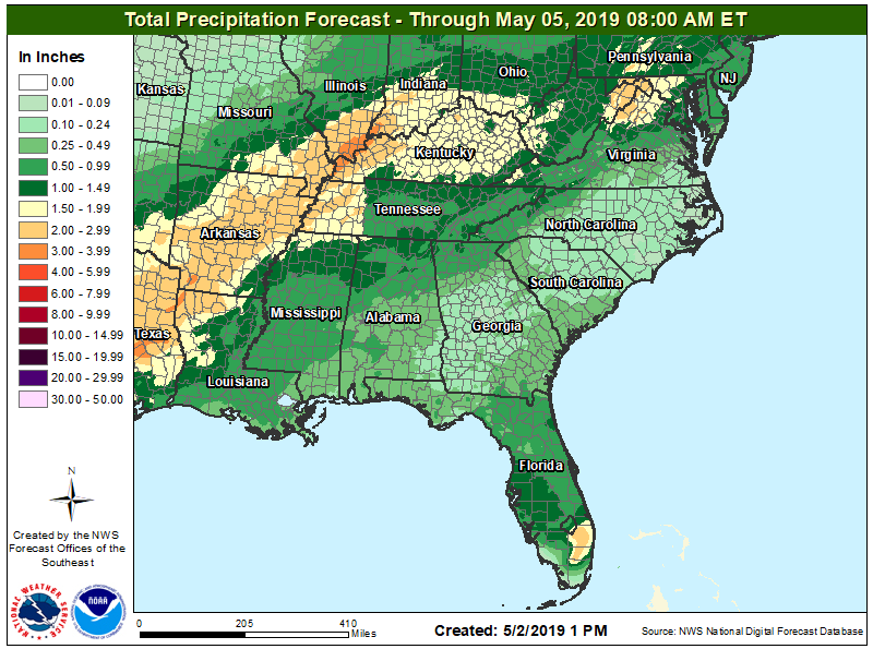
This disturbance is forecast to merge with a frontal system later this weekend. Regardless of development, locally heavy rains are possible over portions of the Bahamas and the Florida peninsula during the next day or so.
The 2019 Atlantic Hurricane Season doesn’t officially begin until June 1, but it is possible for storms to form in the off-season, especially in May.
