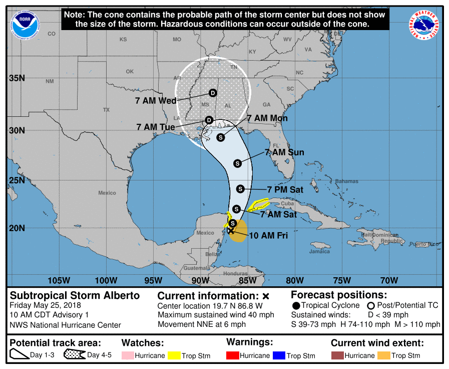
Subtropical Storm Alberto has formed, days before the official start of the 2018 Atlantic Hurricane Season on June 1. The broad low pressure system that the National Hurricane Center has been tracking for the past several days over the Yucatan Peninsula has finally moved offshore over the waters of the northwestern Caribbean Sea. Although the system possesses multiple low-level circulations, the overall larger circulation has improved since yesterday. An Air Force Reserve Hurricane Hunter Aircraft is scheduled to investigate Alberto later this afternoon and provide more information on the storm’s structure and intensity.
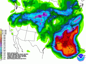
Regardless of its exact track and intensity, Alberto is expected to produce heavy rainfall and flash flooding over the northeastern Yucatan Peninsula of Mexico, western Cuba, southern Florida and the Florida Keys. Rainfall and flooding potential will increase across the central Gulf Coast region and the southeastern United States later this weekend and early next week when Alberto is expected to slow down after it moves inland.

Alberto could bring tropical storm conditions and storm surge to portions of the central and eastern Gulf Coast later this weekend and early next week, although it is too soon to specify the exact location and magnitude of these impacts. Residents in these areas should monitor the progress of Alberto, as tropical storm and storm surge watches may be required later today or tonight.
Dangerous surf and rip current conditions are affecting portions of the Yucatan Peninsula and western Cuba and will likely spread along the eastern and central U.S. Gulf Coast later this weekend.