Tropical Storm Earl continues to spin about in the Atlantic Ocean north and east of the U.S. Virgin Islands; the National Hurricane Center (NHC) now believes the storm will intensify over time, becoming a hurricane by Wednesday. At this time, the NHC forecasts keep Earl away from the U.S. coastline; however, residents along the U.S. East Coast should continue to monitor the forecast should changes occur in the coming days.
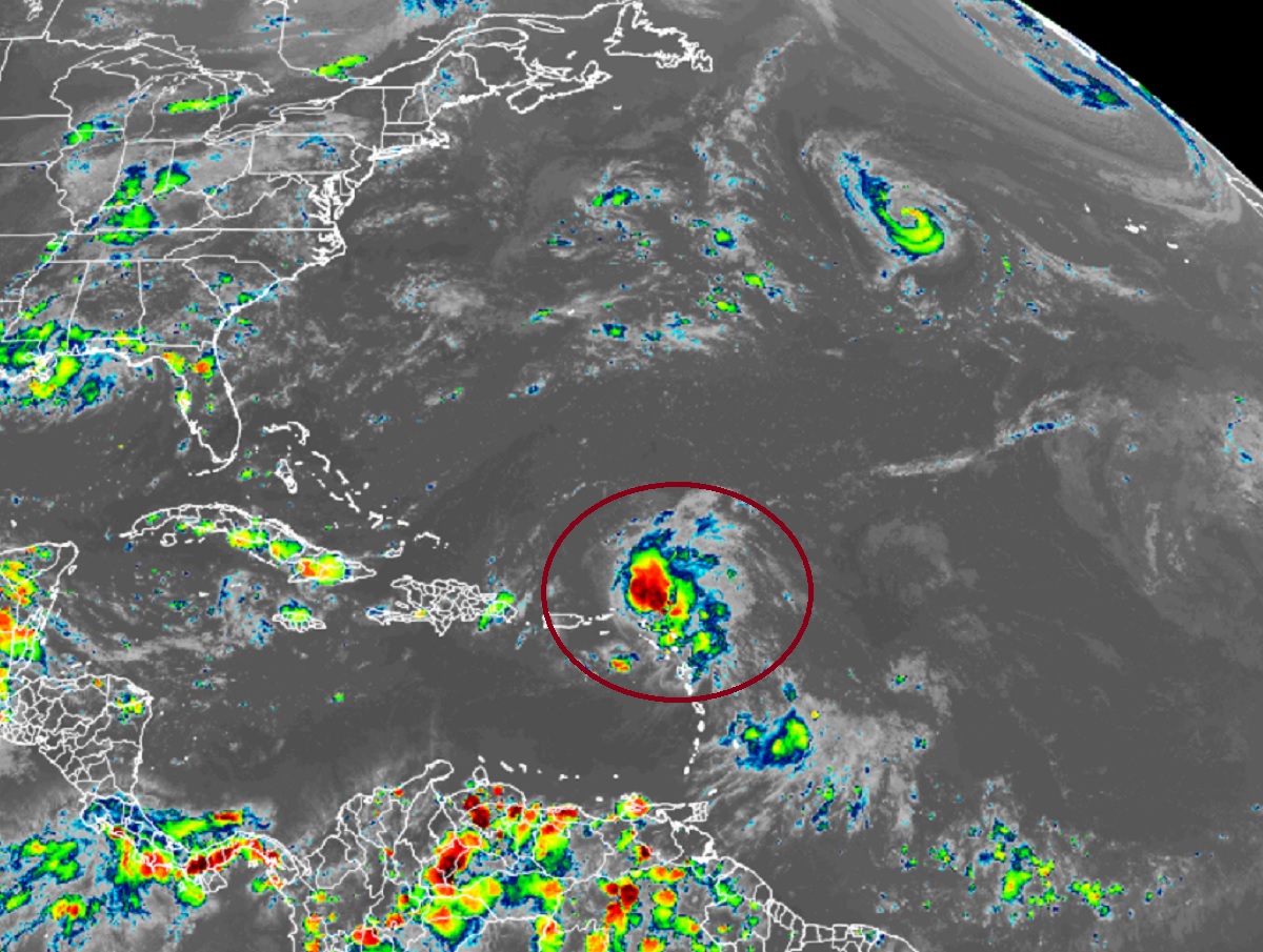
Right now, Earl is a tropical storm with maximum sustained winds of 50 mph just 75 miles north of the Leeward Islands. The storm system has a minimum central pressure of 999 mb or 29.50″. The storm is moving to the west-northwest at 10 mph.
The National Hurricane Center expects Earl to take a slower west-northwestward to northwestward motion is expected during the next couple of days, followed by a turn toward the north on Tuesday. On the forecast track, the center of Earl is expected to pass north of the northern Leeward Islands through this evening, and north of the Virgin Islands and Puerto Rico tonight and Sunday.
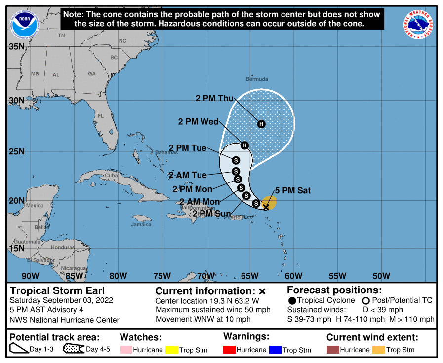
Earl is likely to continue to increase in intensity in the coming days. Data from an Air Force Reserve Hurricane Hunter aircraft indicate
that maximum sustained winds have increased to near 50 mph with higher gusts. Some slow strengthening is forecast during the next couple of days and the NHC expects Earl to reach hurricane status with maximum sustained winds over 75 mph by Wednesday.
While Earl isn’t expected to make landfall anytime soon, if at all, it will still bring harsh weather conditions to the Leeward Islands, U.S. and British Virgin Islands, and Puerto Rico. Rain amounts of 2-4″ is likely here with isolated totals to or just above 6″ possible. Such heavy rain could create some flash, urban, and small stream flooding; rapid rises on rivers and mudslides in areas of steep terrain are also possible, especially across the central interior region of Puerto Rico. While Earl’s strongest winds will remain over water, very gusty winds, especially in squalls, are possible across the northern Leeward Islands, the Virgin Islands, and Puerto Rico through Sunday.
