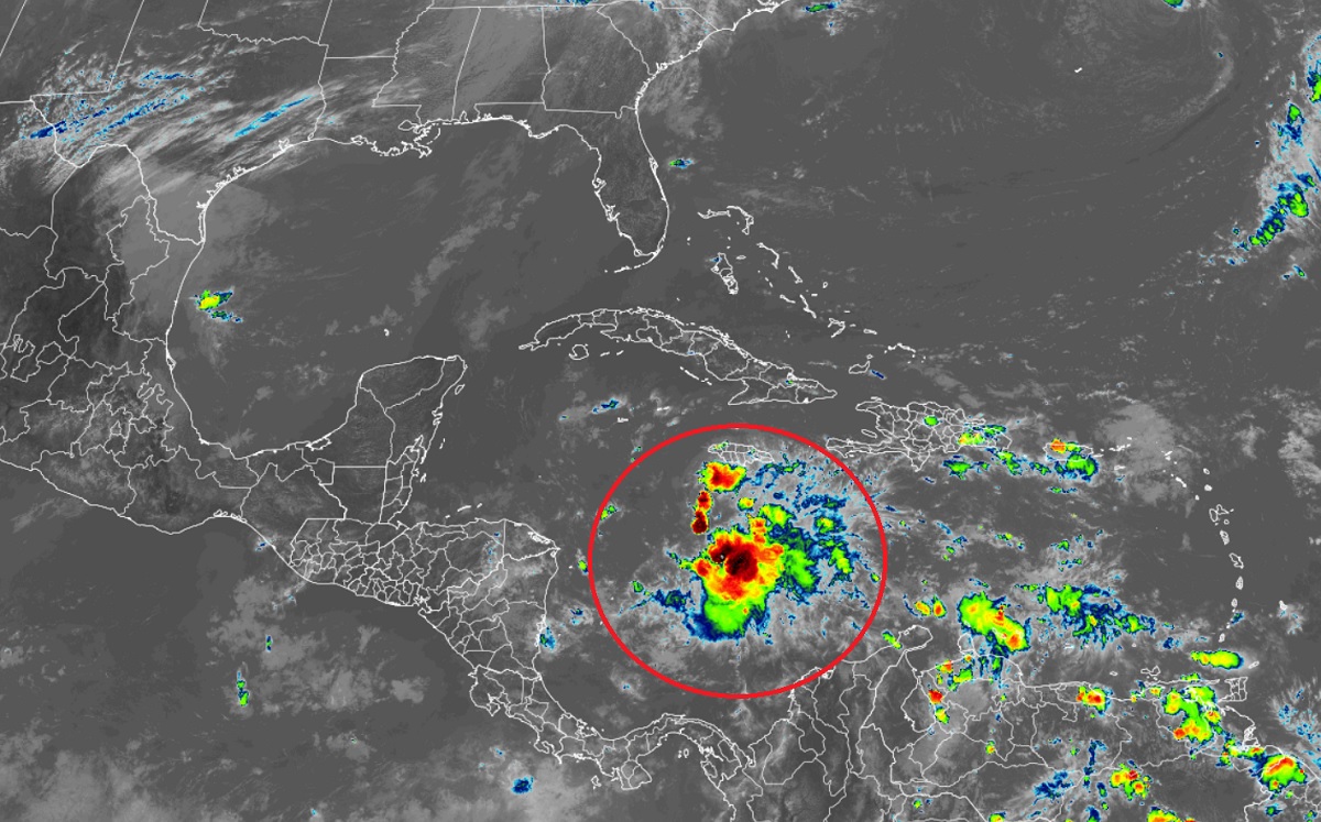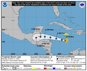
Tropical Storm Lisa is getting stronger today; the National Hurricane Center expects it to intensify to a hurricane before it makes landfall along the Central American coast in a few days. With the threat of a hurricane landfall becoming more likely, additional watches and warnings may need to be issued tonight.
As of the latest advisory from the National Hurricane Center (NHC), Tropical Storm Lisa was 185 miles south-southwest of Kingston, Jamaica and 360 miles southeast of Grand Cayman. Maximum sustained winds were up to 45 mph while the pressure dipped to 1002 mb or 29.59″.
For now, Lisa is moving to the west at 14 mph. On its current path, the center will pass south of Jamaica today, south of the Cayman Islands tomorrow, and approach Central America on Wednesday.

Data from an Air Force Reserve Hurricane Hunter aircraft indicate that maximum sustained winds have increased to near 45 mph and the NHC expects slow strengthening is forecast during the next few days. The official NHC forecast has Lisa as a hurricane at landfall on Central America by Wednesday night.
Lisa is expected to produce rainfall amounts of 1-2″ across portions of the Cayman Islands, northern Honduras, and eastern Nicaragua. For Jamaica and Guatemala, rainfall amounts of 2-4″ are expected with isolated amounts up to 6″ possible. For Belize, rainfall amounts of 3-5″ are in the forecast with isolated amounts up to 8″ possible. These rainfall amounts can create flood problems and increase the risk of mud and rock slides.