While the US enters the third week of the Atlantic Hurricane Season, the tropics are quiet with no tropical depressions, tropical storms, nor hurricanes to be found anywhere in the basin. Additionally, the National Hurricane Center says in their latest Tropical Outlook that they expect no tropical development anywhere in the basin for the next five days. Nevertheless, Texas is being hit hard by a system that originated in the tropics; while the disturbance has no tropical characteristics, it is responsible for dumping extremely heavy amounts of rain in a region still recovering from last year’s Hurricane Harvey.
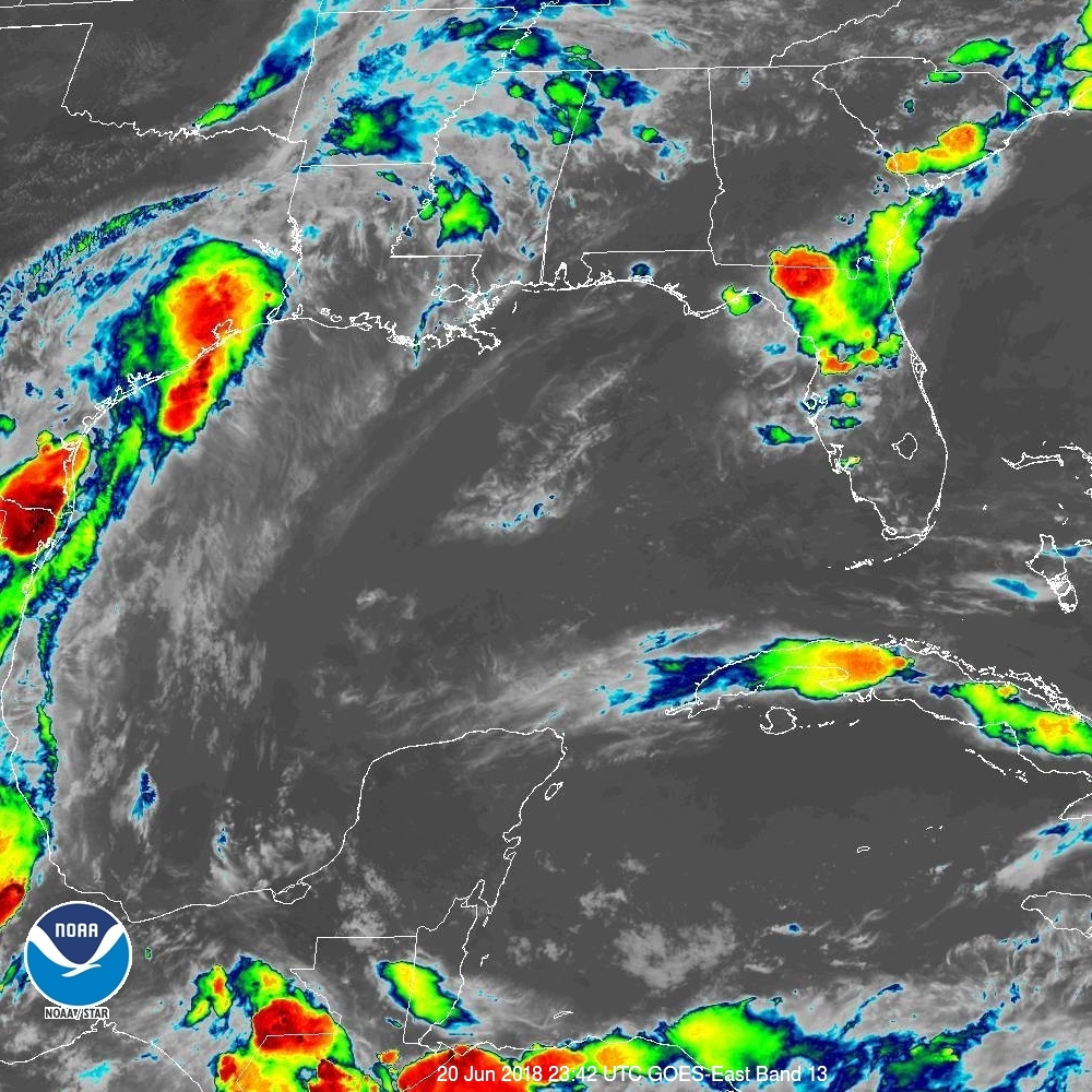
A 1005 mb low pressure centered inland in the Deep South of Texas continues to produce a large area of showers and thunderstorms over the western Gulf coast. Similar convective activity is flared up over the west-central Gulf. This slow moving system will continue to deliver heavy rainfall and flooding along the coast of Texas into Louisiana. A widespread 3 to 5 inches of rainfall is possible over this region through Thursday morning, with isolated pockets of heavier amounts expected.
Even with rain eventually moving out, the threat of flooding could last for days. The National Weather Service in Corpus Christi, TX says, “Recent or anticipated rainfall over the area will keep rivers above flood stage for the next few days.” People in Texas should remember: turn around, don’t drown; never drive through flood waters.
