A Kona Low is set to pounce the islands of Hawaii, bringing heavy rain, thunderstorms, and even snow to portions of the state over the next several days. This system is especially unusual because they generally form in the winter, during the typical “wet season” months of October- April in Hawaii. With severe weather arriving, the National Weather Service in Honolulu, Hawaii has already issued a variety of flood related alerts for the Aloha State.
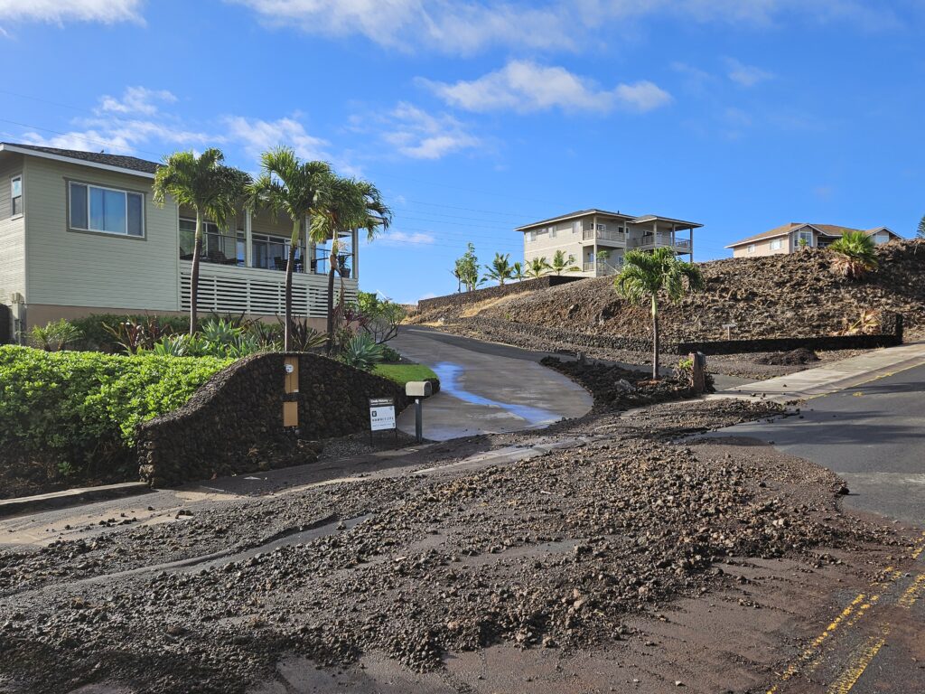
Even before this next Kona Low arrives, people across Hawaii are cleaning up from recent flooding rains. Unstable conditions and low level southeast flow brought flash flooding to windward Oahu on Monday, with numerous rain gauges reporting 5 to 8 inches of rain during the past 12 hours. On the Big Island of Hawaii, thunderstorms parked over the South Kohala district of the island Friday night, inundating residential areas like Waikoloa Village, harbor areas like Kawaihae, and famous coastal resorts with destructive, flash flooding.
The Kona Low gets its name from the change in wind direction that occurs when such a storm moves over the Hawaii Islands. Hawaii is dominated by the trade winds that typically blow in from the northeast. However, the counter-clockwise flow around a Kona low located west of Hawaii results in southwesterly winds over the islands, which is typically the leeward or “Kona” side. Kona Lows are most common between October and April. These type of storms draw abundant moisture up from the warm tropical waters that surround Hawaii; when this moist flow interacts with the steep topography of the island which helps to wring-out moisture, extremely heavy precipitation can fall. Because the wind flow around a Kona Low is atypical, flooding rains occur in places that may not ordinarily flood in tropical downpours that impact the islands from time to time.
Winds will gradually transition to southerlies as a more unsettled weather pattern develops late Tuesday through Friday. The developing Kona Low will increase the potential for heavy rain and thunderstorms across Kauai and Oahu as early as Tuesday morning before spreading this potential to the remaining islands over the following days.

According to the National Weather Service office in Honolulu, Hawaii, “A strong kona low will develop north of the state and its associated convergence boundary will heavily impact the state during the second half of the week. The moisture boundary will move into the state Tuesday night into Wednesday with increasing chances of heavy rain as deep tropical moisture moves in from the south. By Wednesday night, precipitable water values will likely increase over 1.8 inches across parts of the state and the moisture boundary is expected to stall somewhere around Oahu and Maui County based on the latest guidance.” They add, “Where this moisture boundary stalls late Wednesday through Friday, will be the area where there will be high potential for flash flooding.”
While the National Weather Service says there is still some uncertainty on where the convergence boundary will stall, due to the potential for significant flooding over leeward areas, a Flood Watch has been issued for the entire state starting from Wednesday and continuing through Friday. This Flood Watch will likely be extended for select islands due to another heavy rain event moving in this weekend.
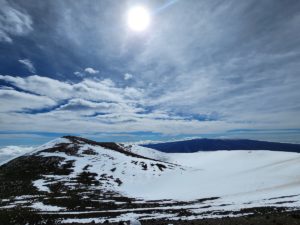
In addition to heavy rain, significant snow could fall too. While most people don’t associate the tropical paradise Hawaii is known for with snow, they’re surprised to learn that it does snow in the winter due to the elevation of its volcanic peaks. Mauna Kea is the highest of the bunch at 13,803 feet. Maui’s Haleakala is much lower at 10,023 feet. Because of that difference, Hawaii Island will see snow more frequently than the lower Maui Island. Just one storm in January 2020 dropped 2-3 feet of snow on Hawaii Island and created snow drifts that were far deeper. Another storm in 2021 brought snowboarders and skiers out to the mountain by the dozens. Just last week, a Winter Storm Warning was issued for the threat of wintry weather on Mauna Kea on Hawaii Island.
There are no winter weather related advisories, watches, or warnings in effect for Hawaii at this time, but that could change as the storm approaches. Most snow would fall on the higher peaks of Hawaii Island late Wednesday or Thursday.
Hawaii is experiencing an unusual weather pattern. Many islands were seeing a severe drought unfold due to the current ENSO cycle; however, while long range forecast called for more dry conditions, these heavy precipitation storm systems are helping build-back rainfall deficits.