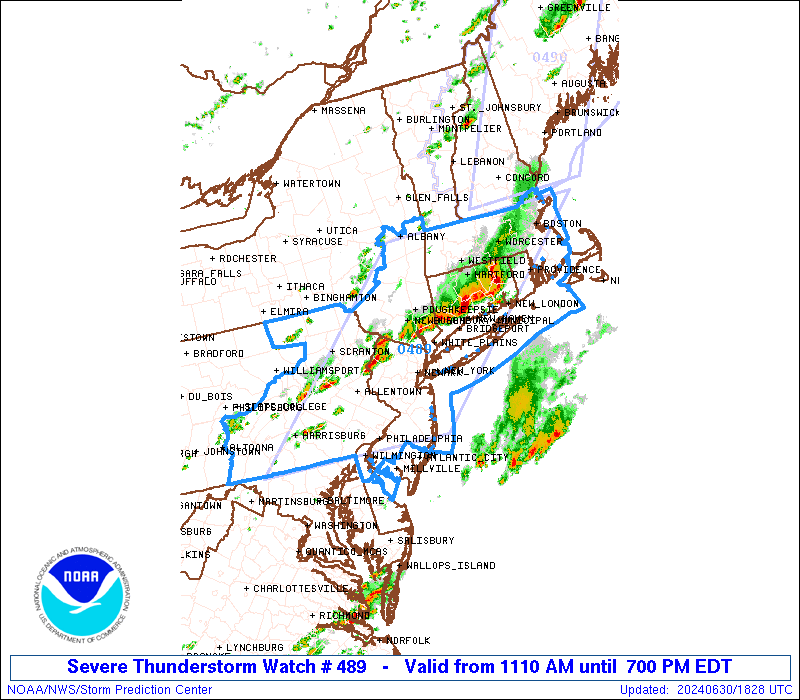
An area of severe to violent thunderstorms that continues to unfold across the northeast has prompted the National Weather Service to issue Severe Thunderstorm Watches across a broad area; within those watches, numerous Severe Thunderstorm Warnings have been or are being issued.
According to the National Weather Service, the primary threats from these storms include widespread damaging winds likely with isolated significant gusts to 75 mph possible as well as isolated large hail events where hail up to 1.5″ in diameter possible. Isolated tornadoes are possible too.
A mix of thunderstorm clusters and supercells should pose a threat for numerous to widespread severe and damaging winds as they move eastward this afternoon and evening. Peak wind gusts should generally range around 60-70 mph, with isolated gusts perhaps reaching up to 75 mph. Occasional hail around 1-1.5″ in diameter may also occur with any sustained supercell.

A Severe Thunderstorm Watch is issued when conditions are favorable for severe thunderstorms in and close to the watch area. Persons in these areas should be on the lookout for threatening weather conditions and listen for later statements and possible warnings. Severe thunderstorms can and occasionally do produce tornadoes.
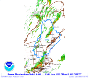
There are two watch boxes up; the first covers much of New Jersey, northern Delaware, eastern Pennsylvania, southeastern New York, all of Connecticut and Rhode Island, and most of Massachussetts. That watch is in effect until 7pm. The second, which is in effect until 8pm, covers all of Maine and New Hampshire and eastern portions of Vermont.
A mid-level trough over the Great Lakes and eastern Canada will continue moving eastward today while an associated cold front will likewise advance east-southeastward across New England and much of the Mid-Atlantic through this evening. A very moist airmass is in place ahead of the front, with surface dewpoints generally in the low to mid 70s. Filtered daytime heating with broken cloud cover will support weak to moderate instability through late this afternoon, with a narrow corridor near the I-95 corridor of the northeast ripe for severe storm formation from the Mid-Atlantic to New England. Mid-level flow will increase through the day in tandem with the upper trough, which will foster strong deep-layer shear and organized convection throughout the region.
According to the National Weather Service’s Storm Prediction Center, expectations are for thunderstorms to continue increasing in coverage and intensity this afternoon, both along and ahead of the cold front and a pre-frontal surface trough. Multiple rounds of intense convection appear possible. The SPC says that given a rather favorable thermodynamic and kinematic parameter space, swaths of severe and damaging winds generally 60-70 mph will likely occur as a mix of bowing line segments and clusters while a few supercells sweep eastward through the afternoon and evening.
“Isolated hail and perhaps a tornado may also occur with any sustained supercell, although poor mid-level lapse rates and modest/veered low-level flow should hinder both of these threats, respectively,” the SPC says.