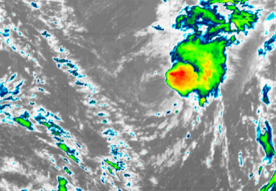
Wanda continues to wander about over the open waters of the North Central Atlantic, now as a Tropical Storm. As the system spirals about in the Atlantic Ocean, it is expected to continue to wander around the Atlantic for the next several days, not directly impacting land mass as it does so.
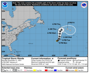
As of the latest update from the National Hurricane Center in Miami, Florida, Wanda was located at 34.2 N and 42.2 W, which puts it about 885 miles west-southwest of the Azores. Wanda’s maximum sustained winds are 45 mph while the minimum central pressure is 996 mb or 29.42″. The storm is drifting to the east-northeast at 7 mph for now.

The National Hurricane Center expects Wanda to continue to drift tonight, followed by a turn to the northeast later tonight and a turn to the north. No interactions with land are expected over the next five days.
Wanda is the 21st named storm of the 2021 Atlantic Hurricane Season, making this year only the third time in history there were 21 or more named storms in the basin within a single season. The season continues through to the end of the month.